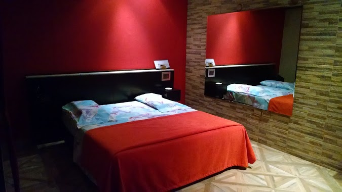
Lodging nearby Camila Lomonaco
Argentina
Lodging nearby Camila Lomonaco
Camila Lomonaco
701-727, Avenida Carabobo, C1406, Comuna 7, Buenos Aires, AR Argentina
contacts phone
:
+54
Latitude:
-34.6347505
, Longitude:
-58.4527906
larger map & directions
read more
nearest Lodging
233 m
HOTEL FAMILIAR GRAN STAR
Gregorio de Laferrere 1824
Lodging
read more
262 m
삼촌네 한인민박
Lautaro 923, C1406DKS
Lodging
read more
514 m
HOTEL IBERIA
Thorne 508
Lodging
read more
611 m
Sin Fronteras
Frncisco Bilbao 2355 2355 Buenos Aires Capital
Lodging
read more
687 m
Taller Malvinas
Achával 538
Lodging
read more
693 m
Cecii Insta
Lodging
read more
695 m
Hotel Rubi III
Avenida Pedro Goyena 1693
Lodging
read more
722 m
Rubi
Avenida Pedro Goyena 1699
Lodging
read more
752 m
Hotel Torino
Avenida Coronel Esteban Bonorino 170
Lodging
read more
800 m
Fondevila Manuel A
Pedernera 589
Lodging
read more
809 m
Hotel San Remo Flores
Avenida Directorio 2449
Lodging
read more
857 m
Hotel Comodo
Pumacahua 1443, C1406DDC
Lodging
read more
863 m
Apart Bs As
C1406HBB, Tandil 2540
Lodging
read more
863 m
Apartamento Barrio Porteño Flores I
Tandil 2540 4 piso Dto.D, Buenos Aires
Lodging
read more
889 m
Apartamento Lautaro
Lautaro 46 PISO 3 B, Buenos Aires
Lodging
read more
988 m
Siseda (Hotel Familiar)
Avenida Juan Bautista Alberdi 2483
Lodging
read more
990 m
Nacho Bistolfi
C1406CUF, Miró 260
Lodging
read more
1.001 km
Falcon Hotel
Coronel Ramón Lorenzo Falcón 1582
Lodging
read more
1.003 km
Hotel Familiar de A. M. González
Avenida Juan Bautista Alberdi 2483
Lodging
read more
1.028 km
Santa Rosa
Emilio Mitre 735
Lodging
read more
1.111 km
Yerbal Apart
Yerbal 1989, Buenos Aires
Lodging
read more
1.112 km
Hispano Argentino
Hortiguera 345
Lodging
read more
1.188 km
Kadabal
Granaderos 164
Lodging
read more
1.39 km
Los Milagros
Fray Cayetano Rodríguez 325
Lodging
read more
1.406 km
San Miguel
Fray Cayetano Rodríguez 345
Lodging
read more
📑
all categories
Accounting
Administrative area level 1
Administrative area level 2
Airport
Amusement park
Aquarium
Art gallery
Atm
Bakery
Bank
Bar
Beauty salon
Bicycle store
Book store
Bowling alley
Bus station
Cafe
Campground
Car dealer
Car rental
Car repair
Car wash
Casino
Cemetery
Church
City hall
Clothing store
Colloquial area
Convenience store
Country
Courthouse
Dentist
Department store
Doctor
Electrician
Electronics store
Embassy
Establishment
Finance
Fire station
Florist
Food
Funeral home
Furniture store
Gas station
General contractor
Grocery or supermarket
Gym
Hair care
Hardware store
Health
Hindu Temple
Home goods store
Hospital
Insurance agency
Intersection
Jewelry store
Laundry
Lawyer
Library
Light rail station
Liquor store
Local government office
Locality
Locksmith
Lodging
Meal delivery
Meal takeaway
Mosque
Movie rental
Movie theater
Moving company
Museum
Natural feature
Neighborhood
Night club
Painter
Park
Parking
Pet store
Pharmacy
Physiotherapist
Place of worship
Plumber
Point of interest
Police
Political
Post office
Premise
Real estate agency
Restaurant
Roofing contractor
Route
Rv park, camping
School
Shoe store
Shopping mall
Spa
Stadium
Storage
Store
Subpremise
Subway station
Supermarket
Synagogue
Taxi stand
Train station
Transit station
Travel agency
University
Veterinary care
Zoo
sublocality level 1
sublocality level 3
↑