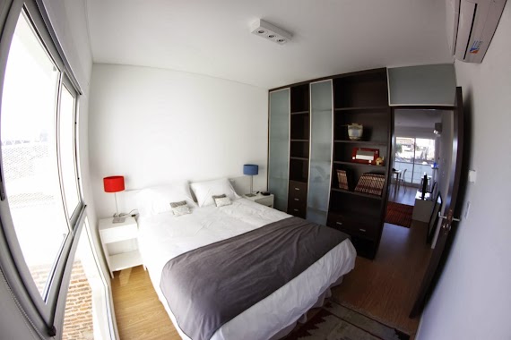
Lodging nearby Los Andes
Argentina
Lodging nearby Los Andes
Los Andes
332, General Juan Gregorio Lemos, C1427, Comuna 15, Buenos Aires, AR Argentina
contacts phone
:
+54 11 4553-3915
Latitude:
-34.58823
, Longitude:
-58.450086
larger map & directions
read more
nearest Lodging
63 m
Apartments Chacarita New
Jorge Newbery 3976
Lodging
read more
110 m
Apartamento Lali
Avenida Forest 335
Lodging
read more
110 m
La casa de Ketty
C1427BQF, General Juan Gregorio Lemos 218
Lodging
read more
436 m
Hotel Litoral
Avenida Corrientes 6891, BPG
Lodging
read more
457 m
Maricar
Charlone 254
Lodging
read more
731 m
Equip Hotel S.A.
Avenida Forest 777
Lodging
read more
736 m
Hotel Donde Vivo
Jorge Newbery 3401-3499
Lodging
read more
794 m
Rampa Car
Ángel Justiniano Carranza 1347
Lodging
read more
799 m
Niceto Flats
Avenida Coronel Niceto Vega 5941
Lodging
read more
846 m
Palermo Hollywood Studio
5841 Avenida Coronel Niceto Vega Apartament 1 C, Buenos Aires
Lodging
read more
865 m
Concord
Olleros 3415
Lodging
read more
948 m
Racca Apart
José Antonio Cabrera 6000
Lodging
read more
950 m
Humboldt 1271
Humboldt 1201-1299, C1414CTG
Lodging
read more
961 m
Dto Villa Crespo
Villarroel 1047
Lodging
read more
972 m
Casa Villa Crespo
Villarroel 1034
Lodging
read more
991 m
Floral
5799 C1414AJK, Avenida Corrientes 5701, Buenos Aires
Lodging
read more
1.001 km
Yosemite
Vera 1039
Lodging
read more
1.017 km
Paralelo Hostel
Arévalo 1557
Lodging
read more
1.041 km
Meridiano & Paralelo Hostel
Arévalo 1583
Lodging
read more
1.057 km
Aguirre
Uriarte 805
Lodging
read more
1.127 km
Thames y Aguirre
Thames 819
Lodging
read more
1.219 km
Welcome My Vera
1 piso 05, Vera 847
Lodging
read more
1.243 km
Depto hugo sawa 3H
C1414CQJ, Arévalo 1736
Lodging
read more
1.247 km
Palermo Queens Dpto
Avenida Corrientes 5513
Lodging
read more
1.329 km
Hotel Marita de A. Martínez
Avenida Elcano 3733
Lodging
read more
📑
all categories
Accounting
Administrative area level 1
Administrative area level 2
Airport
Amusement park
Aquarium
Art gallery
Atm
Bakery
Bank
Bar
Beauty salon
Bicycle store
Book store
Bowling alley
Bus station
Cafe
Campground
Car dealer
Car rental
Car repair
Car wash
Casino
Cemetery
Church
City hall
Clothing store
Colloquial area
Convenience store
Country
Courthouse
Dentist
Department store
Doctor
Electrician
Electronics store
Embassy
Establishment
Finance
Fire station
Florist
Food
Funeral home
Furniture store
Gas station
General contractor
Grocery or supermarket
Gym
Hair care
Hardware store
Health
Hindu Temple
Home goods store
Hospital
Insurance agency
Intersection
Jewelry store
Laundry
Lawyer
Library
Light rail station
Liquor store
Local government office
Locality
Locksmith
Lodging
Meal delivery
Meal takeaway
Mosque
Movie rental
Movie theater
Moving company
Museum
Natural feature
Neighborhood
Night club
Painter
Park
Parking
Pet store
Pharmacy
Physiotherapist
Place of worship
Plumber
Point of interest
Police
Political
Post office
Premise
Real estate agency
Restaurant
Roofing contractor
Route
Rv park, camping
School
Shoe store
Shopping mall
Spa
Stadium
Storage
Store
Subpremise
Subway station
Supermarket
Synagogue
Taxi stand
Train station
Transit station
Travel agency
University
Veterinary care
Zoo
sublocality level 1
sublocality level 3
↑