Night club nearby Club Chacopampa
Argentina
Night club nearby Club Chacopampa
Club Chacopampa
La Plata, Buenos Aires, Argentina
contacts phone
:
+54
Latitude:
-34.985183
, Longitude:
-57.909589
larger map & directions
read more
nearest Night club
3.573 km
Las Vegas
B1912DXD, Calle 85 1728, Altos de San Lorenzo
Night club
read more
3.981 km
rochoViolin
La Plata
Night club
read more
4.012 km
Camping Camioneros
B1914EEV, Calle 604 522, Villa Elvira
Night club
read more
4.868 km
Tomás el bebecito
Calle 75 1751-1799,B1912CWG, Altos de San Lorenzo
Night club
read more
5.911 km
Milonga El Milongòn Platense
B1904BBD, Calle 68 1439, La Plata
Night club
read more
6.547 km
Manijause
B1904ALN, Calle 63 1576, La Plata
Night club
read more
6.716 km
La Casita De Ismael
Calle 144 1535, Los Hornos
Night club
read more
6.88 km
Cornudo Ivan
Calle 140 1450-1402, B1910AXJ, Los Hornos
Night club
read more
7.781 km
La Fontana
Calle 57 876, B1900BNJ, La Plata
Night club
read more
7.873 km
Casa Del Gringo
B1904BZC, Calle 119 1629, La Plata
Night club
read more
8.651 km
LAGO DE LOS ESTUDIANTES
La Plata
Night club
read more
8.696 km
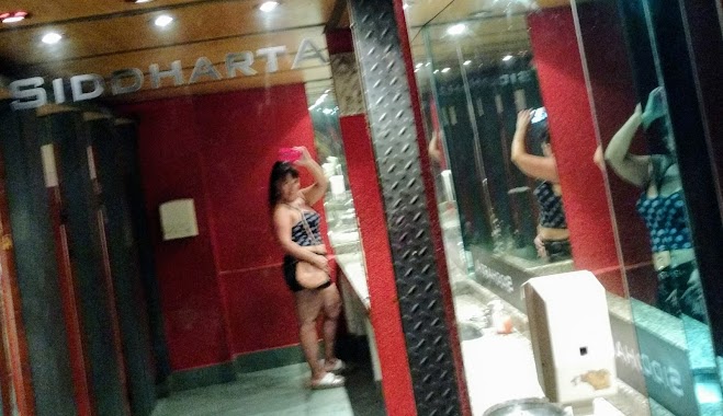
Siddharta
B1900AHL, Calle 46 944, La Plata
Night club
read more
8.712 km
Tierra De Travestis 1y54
tierra de travestis 1 y, Calle 54 54, La Plata
Night club
read more
8.887 km
La Reina la plata
Camino Parque Centenario y
Night club
read more
9.306 km
Balconcito
Calle 5 623, La Plata
Night club
read more
9.515 km
Hemisferio
Av. 7, Casco Urbano, La Plata
Night club
read more
9.516 km
Kaluh
Calle 8 490, Casco Urbano, La Plata
Night club
read more
9.652 km
Record Disco
Calle 3 537, Casco Urbano, La Plata
Night club
read more
10.236 km
Campo Cami
Ruta Provincial 11, Villa Elvira
Night club
read more
11.079 km
En Lo Cumpleañito
Calle 4 8, Tolosa
Night club
read more
12.593 km
Santurio San Alfredito
Calle 200 800-848, Lisandro Olmos
Night club
read more
12.819 km
Salon de fiestas Barabay
Calle 517 Bis 1171, Ringuelet
Night club
read more
14.082 km
Barrio 5 De Mayo
Pasaje Bernardo Irigoyen 24, Ensenada
Night club
read more
14.273 km
Moore
Calle 505 1933, Manuel B. Gonnet
Night club
read more
14.516 km
CASINCHO
Calle 213 Bis, Lisandro Olmos
Night club
read more
📑
all categories
Accounting
Administrative area level 1
Administrative area level 2
Airport
Amusement park
Aquarium
Art gallery
Atm
Bakery
Bank
Bar
Beauty salon
Bicycle store
Book store
Bowling alley
Bus station
Cafe
Campground
Car dealer
Car rental
Car repair
Car wash
Casino
Cemetery
Church
City hall
Clothing store
Colloquial area
Convenience store
Country
Courthouse
Dentist
Department store
Doctor
Electrician
Electronics store
Embassy
Establishment
Finance
Fire station
Florist
Food
Funeral home
Furniture store
Gas station
General contractor
Grocery or supermarket
Gym
Hair care
Hardware store
Health
Hindu Temple
Home goods store
Hospital
Insurance agency
Intersection
Jewelry store
Laundry
Lawyer
Library
Light rail station
Liquor store
Local government office
Locality
Locksmith
Lodging
Meal delivery
Meal takeaway
Mosque
Movie rental
Movie theater
Moving company
Museum
Natural feature
Neighborhood
Night club
Painter
Park
Parking
Pet store
Pharmacy
Physiotherapist
Place of worship
Plumber
Point of interest
Police
Political
Post office
Premise
Real estate agency
Restaurant
Roofing contractor
Route
Rv park, camping
School
Shoe store
Shopping mall
Spa
Stadium
Storage
Store
Subpremise
Subway station
Supermarket
Synagogue
Taxi stand
Train station
Transit station
Travel agency
University
Veterinary care
Zoo
sublocality level 1
sublocality level 3
↑