Night club nearby Maldito Blues Club
Argentina
Night club nearby Maldito Blues Club
Maldito Blues Club
Calle 45, B1900, La Plata, La Plata, AR Argentina
contacts phone
:
+54 221 600-6569
website:
malditobluesclub.negocio.site
Latitude:
-34.9126271
, Longitude:
-57.9554733
larger map & directions
read more
nearest Night club
27 m
Hogan's Club
45 667, La Plata
Night club
read more
228 m
La Reina la plata
Camino Parque Centenario y
Night club
read more
244 m
Etiqueta Negra Club
Calle 46 737, La Plata
Night club
read more
276 m
BOSQUE LOBO
La Plata
Night club
read more
348 m
La Casona
Avenida 44 775, La Plata
Night club
read more
410 m
Patricia Alé Casa de Flores
B1900BZO, Diagonal 74 1527, La Plata
Night club
read more
432 m
Hemisferio
Av. 7, Casco Urbano, La Plata
Night club
read more
444 m
Kaluh
Calle 8 490, Casco Urbano, La Plata
Night club
read more
445 m
Balconcito
Calle 5 623, La Plata
Night club
read more
484 m
Casa Casita Cason
Calle 48 766, La Plata
Night club
read more
495 m
Santo Pecado Bar
Avenida 44 490, La Plata
Night club
read more
679 m
Departamento de Mauri
Diagonal 80 875, La Plata
Night club
read more
708 m
Mateo R.
Calle 8 1000-952, La Plata
Night club
read more
728 m
Cueva
Diagonal 77 264, La Plata
Night club
read more
739 m
Estación La Palta
Calle 4 501-549, B1902CJU, La Plata
Night club
read more
780 m
Record Disco
Calle 3 537, Casco Urbano, La Plata
Night club
read more
790 m
Boutique Club
Calle 4 851-899, La Plata
Night club
read more
803 m
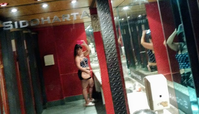
Siddharta
B1900AHL, Calle 46 944, La Plata
Night club
read more
836 m
Ciro Búnker
Avenida 51, La Plata
Night club
read more
837 m
Fito'sClub
Calle 42, La Plata
Night club
read more
863 m
Milonga La Clandestina
B1900BAX, Avenida 53 540, La Plata
Night club
read more
897 m
The Cousins House
Calle 8 1061, La Plata
Night club
read more
923 m
Fila India
Calle 14 823, La Plata
Night club
read more
966 m
Benicius Eventos
Calle 15 615, La Plata
Night club
read more
1.008 km
Veracruz
Calle 43 316,B1902ADN, La Plata
Night club
read more
📑
all categories
Accounting
Administrative area level 1
Administrative area level 2
Airport
Amusement park
Aquarium
Art gallery
Atm
Bakery
Bank
Bar
Beauty salon
Bicycle store
Book store
Bowling alley
Bus station
Cafe
Campground
Car dealer
Car rental
Car repair
Car wash
Casino
Cemetery
Church
City hall
Clothing store
Colloquial area
Convenience store
Country
Courthouse
Dentist
Department store
Doctor
Electrician
Electronics store
Embassy
Establishment
Finance
Fire station
Florist
Food
Funeral home
Furniture store
Gas station
General contractor
Grocery or supermarket
Gym
Hair care
Hardware store
Health
Hindu Temple
Home goods store
Hospital
Insurance agency
Intersection
Jewelry store
Laundry
Lawyer
Library
Light rail station
Liquor store
Local government office
Locality
Locksmith
Lodging
Meal delivery
Meal takeaway
Mosque
Movie rental
Movie theater
Moving company
Museum
Natural feature
Neighborhood
Night club
Painter
Park
Parking
Pet store
Pharmacy
Physiotherapist
Place of worship
Plumber
Point of interest
Police
Political
Post office
Premise
Real estate agency
Restaurant
Roofing contractor
Route
Rv park, camping
School
Shoe store
Shopping mall
Spa
Stadium
Storage
Store
Subpremise
Subway station
Supermarket
Synagogue
Taxi stand
Train station
Transit station
Travel agency
University
Veterinary care
Zoo
sublocality level 1
sublocality level 3
↑