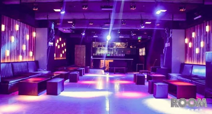
Night club nearby Sin ventana
Argentina
Night club nearby Sin ventana
Sin ventana
1838, Jerónimo Salguero, C1425, C1425DEP, Comuna 14, AR Argentina
contacts phone
:
+54
Latitude:
-34.588157
, Longitude:
-58.415661
larger map & directions
read more
nearest Night club
79 m
Thelonious Club
Jerónimo Salguero 1884
Night club
read more
291 m
VDP DVD PFD
Avenida Raúl Scalabrini Ortíz 2372
Night club
read more
306 m
Liquid Bar
Avenida Santa Fe 3651
Night club
read more
339 m
Fernando Beytrison
Avenida Raúl Scalabrini Ortíz 2290
Night club
read more
670 m
Club de Caballeros Toledo Palermo ll
Honduras 3736, C1180ACB
Night club
read more
701 m
Enzo's homme
Güemes 4280
Night club
read more
703 m
La carniceria de don papini
Juncal 3088, C1425AYN
Night club
read more
773 m
Peugeot Sva
Guatemala 4649
Night club
read more
811 m
Eli
Gorriti 3671, C1172ACE
Night club
read more
818 m
Mostrafest
C1425FFI, Jorge Luis Borges 2450, Buenos Aires
Night club
read more
834 m
Palermo Club
Jorge Luis Borges 2454
Night club
read more
840 m
Pslermo
C1425ARA, Juan María Gutiérrez 3785-3799
Night club
read more
842 m
RUANO CLUB BsAs
Avenida General Las Heras 3545
Night club
read more
857 m
Room
Avenida Raúl Scalabrini Ortíz 1648
Night club
read more
863 m
Simona Viernes
Avenida Raúl Scalabrini Ortíz 1648, C1414DOQ
Night club
read more
904 m
Dalmalandia
Avenida Santa Fe 2858
Night club
read more
997 m
Arien Clima
José Antonio Cabrera 3752
Night club
read more
1.027 km
Laprida
Laprida 1253
Night club
read more
1.038 km
Zapatos Vizzano
Jerónimo Salguero 2686, C1425DEX
Night club
read more
1.051 km
Mama Morton's
C1425APF, Cabello 3212
Night club
read more
1.066 km
Porto
Avenida Raúl Scalabrini Ortíz 1434-1452
Night club
read more
1.082 km
The Roxy Club
Paraguay 4669
Night club
read more
1.136 km
Glam Disco
José Antonio Cabrera 3046
Night club
read more
1.32 km
Azucar Palermo
Avenida Córdoba 4175
Night club
read more
1.336 km
Azúcar Disco
Avenida Córdoba 4175
Night club
read more
📑
all categories
Accounting
Administrative area level 1
Administrative area level 2
Airport
Amusement park
Aquarium
Art gallery
Atm
Bakery
Bank
Bar
Beauty salon
Bicycle store
Book store
Bowling alley
Bus station
Cafe
Campground
Car dealer
Car rental
Car repair
Car wash
Casino
Cemetery
Church
City hall
Clothing store
Colloquial area
Convenience store
Country
Courthouse
Dentist
Department store
Doctor
Electrician
Electronics store
Embassy
Establishment
Finance
Fire station
Florist
Food
Funeral home
Furniture store
Gas station
General contractor
Grocery or supermarket
Gym
Hair care
Hardware store
Health
Hindu Temple
Home goods store
Hospital
Insurance agency
Intersection
Jewelry store
Laundry
Lawyer
Library
Light rail station
Liquor store
Local government office
Locality
Locksmith
Lodging
Meal delivery
Meal takeaway
Mosque
Movie rental
Movie theater
Moving company
Museum
Natural feature
Neighborhood
Night club
Painter
Park
Parking
Pet store
Pharmacy
Physiotherapist
Place of worship
Plumber
Point of interest
Police
Political
Post office
Premise
Real estate agency
Restaurant
Roofing contractor
Route
Rv park, camping
School
Shoe store
Shopping mall
Spa
Stadium
Storage
Store
Subpremise
Subway station
Supermarket
Synagogue
Taxi stand
Train station
Transit station
Travel agency
University
Veterinary care
Zoo
sublocality level 1
sublocality level 3
↑