Park nearby Barrio Cornelio Saavedra
Argentina
Park nearby Barrio Cornelio Saavedra
Barrio Cornelio Saavedra
5930, Alberto Williams, Comuna 12, Buenos Aires, AR Argentinien
contacts phone
:
+54
Latitude:
-34.5646287
, Longitude:
-58.502388
larger map & directions
read more
nearest Park
113 m
Plaza Dr. Vicente S. Lima
Carlos E. Pellegrini 5812-5902
Park
read more
113 m
Dr. Vicente S. Plaza Lima
Carlos E. Pellegrini 5812-5902
Park
read more
281 m
Parque Carlos Mugica
Buenos Aires
Park
read more
309 m
Parque Carlos Mugica
Park
read more
333 m
Entrada Andonaegui Parque Sarmiento
Andonaegui 3851
Park
read more
351 m
Gral. Paz SM Park
Aizpurúa 3695
Park
read more
351 m
Parque Gral. Paz SM
Aizpurúa 3695
Park
read more
418 m
Parque
Rogelio Yrurtia 5601-5649
Park
read more
442 m
Plaza Niños
Unnamed Road
Park
read more
442 m
General Paz Park
Av Crisólogo Larralde y Av General Paz
Park
read more
442 m
Parque General Paz
Av Crisólogo Larralde y Av General Paz
Park
read more
503 m
Asociación de Ciclismo de Buenos Aires
6100, Avenida Triunvirato 5902
Park
read more
535 m
Lago Parque Gral. Paz
Park
read more
542 m
Parque Gral Paz
Colectora General Paz 3802-4858
Park
read more
542 m
Gral Paz Park
Colectora General Paz 3802-4858
Park
read more
1.009 km
Plaza Dr. Salvador Mazza
Villa Martelli
Park
read more
1.009 km
Plaza San Martin
Villa Pueyrredón
Park
read more
1.139 km
Cancha De Basquet Plaza Roque Saenz Peña
C1431GBA, Valdenegro 3901-3999
Park
read more
1.156 km
Plaza Roque Saenz Peña
Paroissien 4891
Park
read more
1.158 km
La copita - Cancha de basquet al aire libre
34°33'29. 58°29'32.6"W, Argentina 7, Ramos Mejía
Park
read more
1.16 km
Basquet La Copita
3999, C1431GBA, Valdenegro 3901
Park
read more
1.215 km
Square March 1, 1948
Ruiz Huidobro 4801-4817
Park
read more
1.215 km
Plaza 1 de Marzo de 1948
Ruiz Huidobro 4801-4817
Park
read more
1.304 km
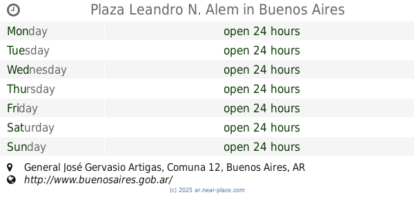
Plaza Leandro N. Alem
General José Gervasio Artigas
Park
read more
2.05 km
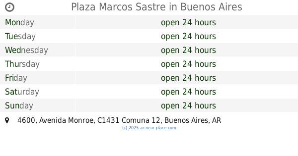
Plaza Marcos Sastre
Avenida Monroe 4600
Park
read more
📑
all categories
Accounting
Administrative area level 1
Administrative area level 2
Airport
Amusement park
Aquarium
Art gallery
Atm
Bakery
Bank
Bar
Beauty salon
Bicycle store
Book store
Bowling alley
Bus station
Cafe
Campground
Car dealer
Car rental
Car repair
Car wash
Casino
Cemetery
Church
City hall
Clothing store
Colloquial area
Convenience store
Country
Courthouse
Dentist
Department store
Doctor
Electrician
Electronics store
Embassy
Establishment
Finance
Fire station
Florist
Food
Funeral home
Furniture store
Gas station
General contractor
Grocery or supermarket
Gym
Hair care
Hardware store
Health
Hindu Temple
Home goods store
Hospital
Insurance agency
Intersection
Jewelry store
Laundry
Lawyer
Library
Light rail station
Liquor store
Local government office
Locality
Locksmith
Lodging
Meal delivery
Meal takeaway
Mosque
Movie rental
Movie theater
Moving company
Museum
Natural feature
Neighborhood
Night club
Painter
Park
Parking
Pet store
Pharmacy
Physiotherapist
Place of worship
Plumber
Point of interest
Police
Political
Post office
Premise
Real estate agency
Restaurant
Roofing contractor
Route
Rv park, camping
School
Shoe store
Shopping mall
Spa
Stadium
Storage
Store
Subpremise
Subway station
Supermarket
Synagogue
Taxi stand
Train station
Transit station
Travel agency
University
Veterinary care
Zoo
sublocality level 1
sublocality level 3
↑