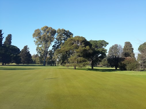
Park nearby Parque Yrigoyen
Argentina
Park nearby Parque Yrigoyen
Parque Yrigoyen
Av. 25 de Mayo s/n, B1650 San Martin, Buenos Aires, Argentina
contacts phone
:
+54
website:
www.sanmartin.gov.ar
Latitude:
-34.5828394
, Longitude:
-58.5166529
larger map & directions
read more
nearest Park
778 m
Plaza Vía
Curupaytí 2963
Park
read more
922 m
Héctor Gagliardi
C1419DIB, Santos Vega 5898
Park
read more
1.141 km
Control AB Fumigaciones
Local 5, AV. MOSCONI 3238
Park
read more
1.156 km
Plaza Nunca Más
Franco 2702-2800
Park
read more
1.244 km
Plaza La Batalla de Maipú
Junín, Villa Maipú
Park
read more
1.402 km
Plaza San Martin
Villa Pueyrredón
Park
read more
1.424 km
Plaza Leandro N. Alem
General José Gervasio Artigas
Park
read more
1.555 km
Plaza Nuestra Señora del Rosario
Avenida Iturraspe 300, Villa Lynch
Park
read more
1.56 km
Plaza de Los Abuelos
Avenida Iturraspe, Gran Buenos Aires
Park
read more
1.597 km
Monumento Mariscal Jozef Pilzudky
Avenida San Martín 6402-6452
Park
read more
1.608 km
PLAZA DEL AMIGO
Calle Lincoln, Gran Buenos Aires
Park
read more
1.715 km
Delmira Agustini
C1419HAN, Avenida Salvador María del Carril 3464-3500
Park
read more
1.718 km
Alejandro Carpentier
C1419HAO, Avenida Salvador María del Carril 3502-3600
Park
read more
1.737 km
Nicolás Guillén
C1419HAP, Avenida Salvador María del Carril 3606
Park
read more
1.772 km
García Lorca
Avenida Lincoln
Park
read more
1.822 km
Germán Rozenmacher
C1419HAR, Avenida Salvador María del Carril 3850
Park
read more
1.88 km
Plaza Arenales
Mercedes 4058
Park
read more
1.94 km
Lago Parque Gral. Paz
Park
read more
1.941 km
Gral Paz Park
Colectora General Paz 3802-4858
Park
read more
1.941 km
Parque Gral Paz
Colectora General Paz 3802-4858
Park
read more
1.956 km
Pablo Neruda
C1419HAU, Avenida Salvador María del Carril 4102-4200
Park
read more
2.009 km
General Paz Park
Av Crisólogo Larralde y Av General Paz
Park
read more
2.009 km
Parque General Paz
Av Crisólogo Larralde y Av General Paz
Park
read more
2.133 km
Plaza De Las Madres
Murature 4840, Villa Lynch
Park
read more
2.532 km
Estacionar ROFFO
C1417EXB, José Pedro Varela 3048
Park
read more
📑
all categories
Accounting
Administrative area level 1
Administrative area level 2
Airport
Amusement park
Aquarium
Art gallery
Atm
Bakery
Bank
Bar
Beauty salon
Bicycle store
Book store
Bowling alley
Bus station
Cafe
Campground
Car dealer
Car rental
Car repair
Car wash
Casino
Cemetery
Church
City hall
Clothing store
Colloquial area
Convenience store
Country
Courthouse
Dentist
Department store
Doctor
Electrician
Electronics store
Embassy
Establishment
Finance
Fire station
Florist
Food
Funeral home
Furniture store
Gas station
General contractor
Grocery or supermarket
Gym
Hair care
Hardware store
Health
Hindu Temple
Home goods store
Hospital
Insurance agency
Intersection
Jewelry store
Laundry
Lawyer
Library
Light rail station
Liquor store
Local government office
Locality
Locksmith
Lodging
Meal delivery
Meal takeaway
Mosque
Movie rental
Movie theater
Moving company
Museum
Natural feature
Neighborhood
Night club
Painter
Park
Parking
Pet store
Pharmacy
Physiotherapist
Place of worship
Plumber
Point of interest
Police
Political
Post office
Premise
Real estate agency
Restaurant
Roofing contractor
Route
Rv park, camping
School
Shoe store
Shopping mall
Spa
Stadium
Storage
Store
Subpremise
Subway station
Supermarket
Synagogue
Taxi stand
Train station
Transit station
Travel agency
University
Veterinary care
Zoo
sublocality level 1
sublocality level 3
↑