Park nearby Pasaje Peatonal Azucena Villaflor
Argentina
Park nearby Pasaje Peatonal Azucena Villaflor
Pasaje Peatonal Azucena Villaflor
Sarandí, Buenos Aires Province, Argentina
contacts phone
:
+54
Latitude:
-34.68026
, Longitude:
-58.3455958
larger map & directions
read more
nearest Park
208 m
Plaza Luis Medrazza
Avenida Bartolomé Mitre 2827, Sarandí
Park
read more
451 m
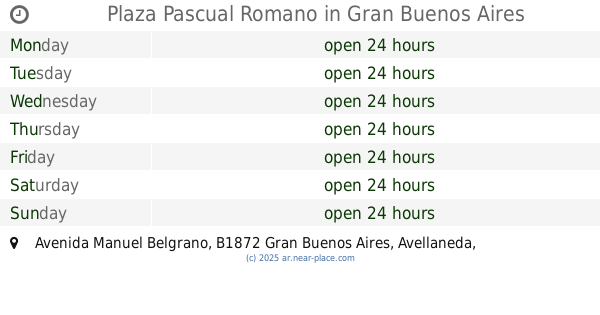
Plaza Pascual Romano
Avenida Manuel Belgrano, Gran Buenos Aires
Park
read more
682 m
Volunteer Firefighter Square
B1872ATB, Casella Piñero 52-100, Sarandí
Park
read more
946 m
Reserva Natural De Avellaneda
Sarandí
Park
read more
963 m
Parque De Los Eucaliptus
Sarandí
Park
read more
963 m
Eucaliptus Park
Sarandí
Park
read more
1.252 km
Plaza Mariano Moreno
Ibera 452-500, Crucecita
Park
read more
1.279 km
Eco area
Acceso Sudeste, Zona de Reserva
Park
read more
1.399 km
Patio de Juegos Delfo Cabrera
Sarandí
Park
read more
1.426 km
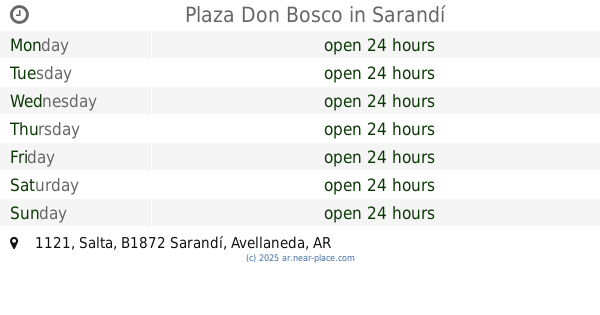
Plaza Don Bosco
B1872BKY, Salta 1121, Sarandí
Park
read more
1.459 km
Plaza Tota Santiago de Duarte
Manuel Ocampo 602-650, Sarandí
Park
read more
1.485 km
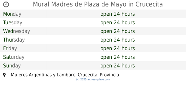
Mural Madres de Plaza de Mayo
Mujeres Argentinas y Lambaré
Park
read more
1.499 km
Plaza Claudia Pía Baudracco
Sarandí
Park
read more
1.543 km
Plaza República Oriental del Uruguay
Avenida Crisólogo Larralde, Gran Buenos Aires
Park
read more
1.789 km
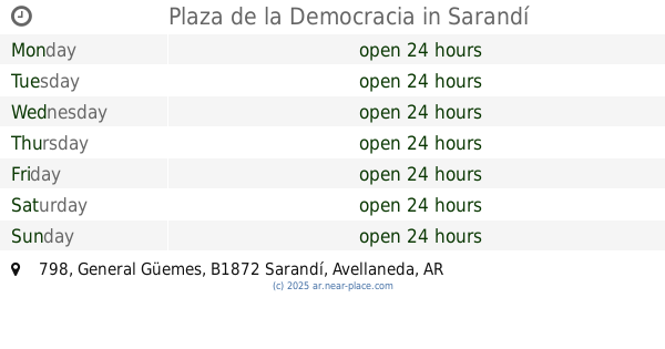
Plaza de la Democracia
B1872AAN, General Güemes 798, Sarandí
Park
read more
1.803 km
Patio de juegos Cinco Esquinas
Crucecita
Park
read more
1.805 km
Parkour Park Avellaneda
General Güemes 511, Crucecita
Park
read more
1.824 km
Patio de Juegos Sargento Cabral
Crucecita
Park
read more
1.915 km
Patio de Juegos Islas Malvinas
Villa Domínico
Park
read more
2.049 km
AREA X
Crucecita
Park
read more
2.085 km
Los Derechos del Trabajador Park
Villa Domínico
Park
read more
2.085 km
Domingo Faustino Sarmiento Park
Villa Domínico
Park
read more
2.085 km
Parque Domingo Faustino Sarmiento
Villa Dominico
Park
read more
2.172 km
Bandex Sa Carga Bandejitas
Prudan 1900, Sarandí
Park
read more
2.653 km
Plaza Alsina
Avellaneda
Park
read more
📑
all categories
Accounting
Administrative area level 1
Administrative area level 2
Airport
Amusement park
Aquarium
Art gallery
Atm
Bakery
Bank
Bar
Beauty salon
Bicycle store
Book store
Bowling alley
Bus station
Cafe
Campground
Car dealer
Car rental
Car repair
Car wash
Casino
Cemetery
Church
City hall
Clothing store
Colloquial area
Convenience store
Country
Courthouse
Dentist
Department store
Doctor
Electrician
Electronics store
Embassy
Establishment
Finance
Fire station
Florist
Food
Funeral home
Furniture store
Gas station
General contractor
Grocery or supermarket
Gym
Hair care
Hardware store
Health
Hindu Temple
Home goods store
Hospital
Insurance agency
Intersection
Jewelry store
Laundry
Lawyer
Library
Light rail station
Liquor store
Local government office
Locality
Locksmith
Lodging
Meal delivery
Meal takeaway
Mosque
Movie rental
Movie theater
Moving company
Museum
Natural feature
Neighborhood
Night club
Painter
Park
Parking
Pet store
Pharmacy
Physiotherapist
Place of worship
Plumber
Point of interest
Police
Political
Post office
Premise
Real estate agency
Restaurant
Roofing contractor
Route
Rv park, camping
School
Shoe store
Shopping mall
Spa
Stadium
Storage
Store
Subpremise
Subway station
Supermarket
Synagogue
Taxi stand
Train station
Transit station
Travel agency
University
Veterinary care
Zoo
sublocality level 1
sublocality level 3
↑