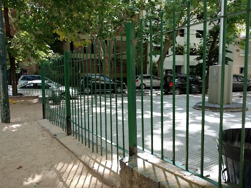
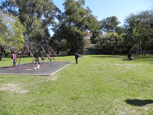
Park nearby Plaza Barrancas de Belgrano
Argentina
Park nearby Plaza Barrancas de Belgrano
Plaza Barrancas de Belgrano
Virrey del Pino, Moldes, C1426, Comuna 13, Buenos Aires, AR Argentyna
contacts phone
:
+54
website:
www.buenosaires.gob.ar
Latitude:
-34.559804
, Longitude:
-58.449174
larger map & directions
read more
nearest Park
Plaza Barrancas de Belgrano
La Pampa 1781
Park
read more
109 m
Barrancas de Belgrano
Mariscal Antonio José de Sucre 1683-1743
Park
read more
155 m
Barrancas de Belgrano
Juramento 1792, Ciudad Autónoma de Buenos Aires
Park
read more
466 m
PLAZOLETA EDUARDO OLIVERA
Avenida Luis María Campos 1601
Park
read more
560 m
Plaza Manuel Belgrano
Vuelta de Obligado 2100
Park
read more
614 m
Plaza Rafael Hernández
Echeverría 2001
Park
read more
623 m
Plaza Joaquín Sánchez
Juramento
Park
read more
623 m
Plaza Joaquín Sánchez
Juramento & Vuelta de Obligado
Park
read more
646 m
Gral. Francisco Morazán
Arcos 1540-1550
Park
read more
885 m
Plazoleta Rafael del Riego y Núñez
Arcos 1249
Park
read more
885 m
Plazoleta Rafael del Riego and Núñez
Arcos 1249
Park
read more
915 m
Eloy Alfaro
Avenida del Libertador 5202-5230
Park
read more
919 m
Plaza Noruega
Ciudad de La Paz 2175
Park
read more
954 m
Alberti Square
Arcos 2665
Park
read more
959 m
Plaza Ingeniero Félix Aguilar
Park
read more
1.048 km
PLAZA ALBERTI
Manuel Ugarte 2168
Park
read more
1.166 km
Sta. María de los Bs. As.
Elcano 2707
Park
read more
1.378 km
Plaza Parques Nacionales Argentinos
Mariscal Antonio José de Sucre 601
Park
read more
1.393 km
Plaza Iberá y Grecia
Grecia 3002-3100, C1429BDD
Park
read more
1.47 km
Parque 3 De Febrero
Andrés Bello
Park
read more
1.853 km
Plaza Fray Mocho
Park
read more
1.91 km
Plaza Zarraga
3339, C1426EKA, Zárraga 3319
Park
read more
2.157 km
Lucio Demare
Avenida Comodoro Martín Rivadavia 1983-1999
Park
read more
2.206 km
Calesita Plaza Balcarce
Jaramillo 2321, C1429CRI
Park
read more
2.473 km
Carlos Malagarriga
C1429AAY, Avenida Cabildo 4002-4100
Park
read more
📑
all categories
Accounting
Administrative area level 1
Administrative area level 2
Airport
Amusement park
Aquarium
Art gallery
Atm
Bakery
Bank
Bar
Beauty salon
Bicycle store
Book store
Bowling alley
Bus station
Cafe
Campground
Car dealer
Car rental
Car repair
Car wash
Casino
Cemetery
Church
City hall
Clothing store
Colloquial area
Convenience store
Country
Courthouse
Dentist
Department store
Doctor
Electrician
Electronics store
Embassy
Establishment
Finance
Fire station
Florist
Food
Funeral home
Furniture store
Gas station
General contractor
Grocery or supermarket
Gym
Hair care
Hardware store
Health
Hindu Temple
Home goods store
Hospital
Insurance agency
Intersection
Jewelry store
Laundry
Lawyer
Library
Light rail station
Liquor store
Local government office
Locality
Locksmith
Lodging
Meal delivery
Meal takeaway
Mosque
Movie rental
Movie theater
Moving company
Museum
Natural feature
Neighborhood
Night club
Painter
Park
Parking
Pet store
Pharmacy
Physiotherapist
Place of worship
Plumber
Point of interest
Police
Political
Post office
Premise
Real estate agency
Restaurant
Roofing contractor
Route
Rv park, camping
School
Shoe store
Shopping mall
Spa
Stadium
Storage
Store
Subpremise
Subway station
Supermarket
Synagogue
Taxi stand
Train station
Transit station
Travel agency
University
Veterinary care
Zoo
sublocality level 1
sublocality level 3
↑