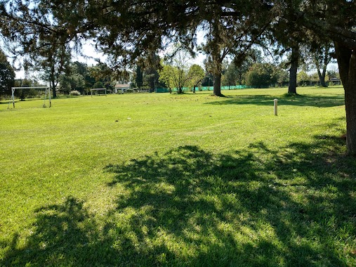
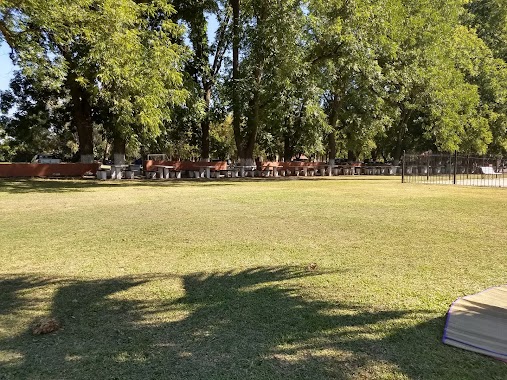
Park nearby Plazoleta Prebistero Eliseo Silvio Rossato
Argentina
Park nearby Plazoleta Prebistero Eliseo Silvio Rossato
Plazoleta Prebistero Eliseo Silvio Rossato
J. M. Pérez, 6700, Gran Buenos Aires, Luján, AR Argentina
contacts phone
:
+54
Latitude:
-34.568065
, Longitude:
-59.133125
larger map & directions
read more
nearest Park
839 m
La Antigüa Gruta
Avenida Julio A. Roca 168, Gran Buenos Aires
Park
read more
1.035 km
Reserva Forestal Quinta de Cigordia
9 de julio 2299,Luján, Buenos Aires, Luján
Park
read more
1.865 km
Parque Islas Malvinas
B6700CCC, Avenida Nuestra Señora de Luján 327-351, Luján
Park
read more
2.002 km
Parque SAN MARTIN
Francia 300-348, Luján
Park
read more
3.378 km
Plazoleta Madres de Plaza de Mayo
Avenida Constitución, Luján
Park
read more
4.135 km
RESERVA ECOTURÍSTICA BIOHUELLAS (30 personas o más)
Acceso a, Acceso Carlos Keen km 1, Luján
Campground
Park
Lodging
Point of interest
Establishment
read more
6.691 km
Valle Verde
Cruz de Sur 550, Luján
Park
read more
7.155 km
Lezica Y Torrezuri
Avenida María Unzué de Alvear, Luján
Park
read more
9.692 km
Open Green
Av Cabred 1145, Open Door - Luján
Park
read more
15.207 km
Botánico Amada
Betinotti 966, General Rodriguez
Park
read more
15.793 km
Pileta General Rodriguez
General Rodríguez
Park
read more
16.491 km
Haras de Santa Lucía
KM 170, Ruta Provincial 6
Park
read more
16.824 km
El Ombu
B1632ABK, Soldado Hector Aguirre 499-599, Manzanares
Park
read more
16.87 km
Los Alcanfores
Sor Teresa 799-899, Pilar Centro
Park
read more
17.155 km
Mural Natural
Río Iguazú 199-299, Manzanares
Park
read more
18.124 km
Club Campo Canino RG
Unnamed Rd,
Park
read more
18.134 km
El Terraplén Granja educativa
Mar del Plata y Pigüé s/n, CP1748, General Rodríguez
Campground
Park
Lodging
Point of interest
Establishment
read more
19.371 km
Eco Yoga Park
Ruta 24 km 48,9, General Rodriguez
Park
read more
19.492 km
Barrio Cerrado Manzanares Chico
CP 1633, Avenida Bartolomé Mitre 406, Fatima
Park
read more
20.143 km
Parque Chevallier
Ruta Nacional 8 496, Fatima
Park
read more
20.466 km
CIRGEN (día de campo)
Buenos Aires
Park
read more
20.513 km
Mi Casa
699, Directorio 499, Fatima
Park
read more
22.389 km
Plaza de la Paz, Barrio Peruzotti
B1629KKO, General O'Higgins 1599-1699, Pilar Centro
Park
read more
23.161 km
Barrio El Casco Garden
Arrayanes, General Rodriguez
Park
read more
24.758 km
Plaza Independencia
B1746GUP, El Quijote 4000-4098, Francisco Alvarez
Park
read more
📑
all categories
Accounting
Administrative area level 1
Administrative area level 2
Airport
Amusement park
Aquarium
Art gallery
Atm
Bakery
Bank
Bar
Beauty salon
Bicycle store
Book store
Bowling alley
Bus station
Cafe
Campground
Car dealer
Car rental
Car repair
Car wash
Casino
Cemetery
Church
City hall
Clothing store
Colloquial area
Convenience store
Country
Courthouse
Dentist
Department store
Doctor
Electrician
Electronics store
Embassy
Establishment
Finance
Fire station
Florist
Food
Funeral home
Furniture store
Gas station
General contractor
Grocery or supermarket
Gym
Hair care
Hardware store
Health
Hindu Temple
Home goods store
Hospital
Insurance agency
Intersection
Jewelry store
Laundry
Lawyer
Library
Light rail station
Liquor store
Local government office
Locality
Locksmith
Lodging
Meal delivery
Meal takeaway
Mosque
Movie rental
Movie theater
Moving company
Museum
Natural feature
Neighborhood
Night club
Painter
Park
Parking
Pet store
Pharmacy
Physiotherapist
Place of worship
Plumber
Point of interest
Police
Political
Post office
Premise
Real estate agency
Restaurant
Roofing contractor
Route
Rv park, camping
School
Shoe store
Shopping mall
Spa
Stadium
Storage
Store
Subpremise
Subway station
Supermarket
Synagogue
Taxi stand
Train station
Transit station
Travel agency
University
Veterinary care
Zoo
sublocality level 1
sublocality level 3
↑