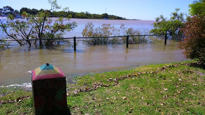
Park nearby Punta Chica
Argentina
Park nearby Punta Chica
Punta Chica
Victoria, Buenos Aires, Argentina
contacts phone
:
+54
Latitude:
-34.4456496
, Longitude:
-58.5240502
larger map & directions
read more
nearest Park
692 m
Parque municipal san fernando
Victoria
Park
read more
699 m
san fernando Park
Victoria
Park
read more
743 m
Centro Náutico De Exposiciones
Victoria
Park
read more
809 m
Cacel
Victoria
Park
read more
809 m
Cacel
1644, Victoria
Park
read more
847 m
Consorcio Parque Nautico San Fernando
Victoria
Park
read more
1.037 km
Parque Náutico Municipal
Victoria
Park
read more
1.128 km
Jardin De Infantes
Victoriano Montes, Victoria
Park
read more
1.128 km
Infantes Garden
Victoriano Montes, Victoria
Park
read more
1.267 km
Costanera Municipal San Fernando
Del Arca 1, San Fernando
Park
read more
1.409 km
Isla Sarandí
Buenos Aires
Park
read more
1.474 km
Plaza Roca
Béccar
Park
read more
1.853 km
Plaza Dorrego
B1644BHO, Ingeniero White 1199-1299, Victoria
Park
read more
2.255 km
Parque De La Ribera
Primera Junta 802-1000, San Isidro
Park
read more
2.326 km
Monte de nativas
San Isidro
Park
read more
2.648 km
Plaza Mitre
San Isidro
Park
read more
2.697 km
Calesita infantil
Jacinto Díaz 202-300, San Isidro
Park
read more
2.807 km
Solarium Club San Fernando
Río Luján, San Fernando
Park
read more
2.82 km
Skatepark San Fernando
Avenida Sobremonte 2531, Victoria
Park
read more
2.831 km
Plaza Tahona
1642, San Isidro
Park
read more
2.916 km
Bosque Alegre - Protected Landscape
Del Barco Centenera 1014, San Isidro
Park
read more
2.961 km
Parque Del Bicentenario De La Independencia
Victoria
Park
read more
3.269 km
Campo de Deportes N°6
1300,, Roque Sáenz Peña 1214, San Isidro
Park
read more
3.323 km
Municipal Barranca de la Quinta Pueyrredón Natural Park
Rivera Indarte 48, San Isidro
Park
read more
3.723 km
Municipal Ribera Norte Natural Park
Camino de la Ribera 480, Acassuso
Park
read more
📑
all categories
Accounting
Administrative area level 1
Administrative area level 2
Airport
Amusement park
Aquarium
Art gallery
Atm
Bakery
Bank
Bar
Beauty salon
Bicycle store
Book store
Bowling alley
Bus station
Cafe
Campground
Car dealer
Car rental
Car repair
Car wash
Casino
Cemetery
Church
City hall
Clothing store
Colloquial area
Convenience store
Country
Courthouse
Dentist
Department store
Doctor
Electrician
Electronics store
Embassy
Establishment
Finance
Fire station
Florist
Food
Funeral home
Furniture store
Gas station
General contractor
Grocery or supermarket
Gym
Hair care
Hardware store
Health
Hindu Temple
Home goods store
Hospital
Insurance agency
Intersection
Jewelry store
Laundry
Lawyer
Library
Light rail station
Liquor store
Local government office
Locality
Locksmith
Lodging
Meal delivery
Meal takeaway
Mosque
Movie rental
Movie theater
Moving company
Museum
Natural feature
Neighborhood
Night club
Painter
Park
Parking
Pet store
Pharmacy
Physiotherapist
Place of worship
Plumber
Point of interest
Police
Political
Post office
Premise
Real estate agency
Restaurant
Roofing contractor
Route
Rv park, camping
School
Shoe store
Shopping mall
Spa
Stadium
Storage
Store
Subpremise
Subway station
Supermarket
Synagogue
Taxi stand
Train station
Transit station
Travel agency
University
Veterinary care
Zoo
sublocality level 1
sublocality level 3
↑