Pharmacy nearby Farmacia y Perfumería Naon
Argentina
Pharmacy nearby Farmacia y Perfumería Naon
Farmacia y Perfumería Naon
2367, Doctor Rómulo Naón, C1430, Comuna 13, Buenos Aires, AR Argentina
contacts phone
:
+54 11 4542-2105
Latitude:
-34.5676508
, Longitude:
-58.4723425
larger map & directions
read more
nearest Pharmacy
88 m
Farmacia Mendoza
Avenida Olazábal 3668
Pharmacy
read more
92 m
Teos
Olazábal 3672
Pharmacy
read more
262 m
Farmacity
Avenida Melián 2502
Pharmacy
read more
300 m
Farmacia Nueva Coghlan
Avenida Monroe 3552
Pharmacy
read more
358 m
Farmacia Y Perfumeria Schiavi
Mitre 1257, Roque P�rez, Buenos Aires
Pharmacy
read more
359 m
Farmacia Olazábal
Avenida Olazábal 4012
Pharmacy
read more
553 m
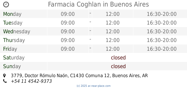
Farmacia Coghlan
Doctor Rómulo Naón 3779
Pharmacy
read more
681 m
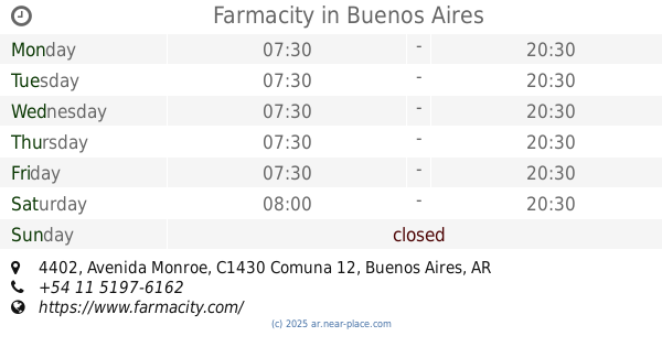
Farmacity
Avenida Monroe 4402
Pharmacy
read more
714 m
Farmacia Roma
Avenida Monroe 3199
Pharmacy
read more
715 m
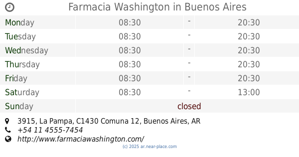
Farmacia Washington
La Pampa 3915
Pharmacy
read more
723 m
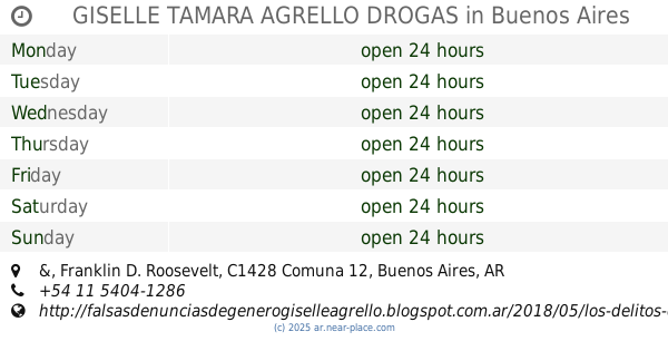
GISELLE TAMARA AGRELLO DROGAS
Capitán General Ramón Freire, Franklin D. Roosevelt &
Pharmacy
read more
777 m
Nueva Pasteur
Mariano Acha 2719
Pharmacy
read more
787 m
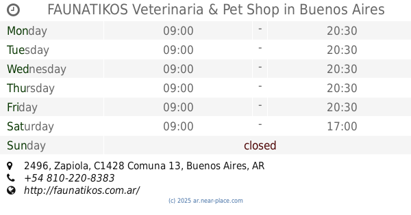
FAUNATIKOS Veterinaria & Pet Shop
C1428CXL, Zapiola 2496
Pharmacy
read more
827 m
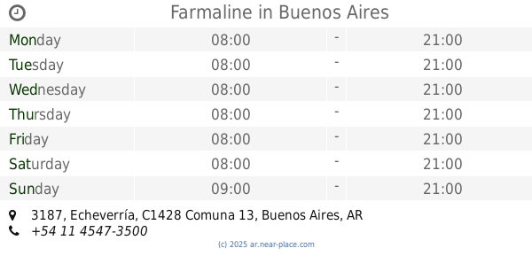
Farmaline
Echeverría 3187
Pharmacy
read more
915 m
Nueva FARMACIA Feliu
Conesa 2239
Pharmacy
read more
918 m
Gustavo A Barbero
Conesa 2239
Pharmacy
read more
952 m
Juramento Automotores Sa
Esteban Echeverria 3062, Belgrano
Pharmacy
read more
968 m
Farmacia Mundial Coghlan
Avenida Doctor Ricardo Balbín 3057
Pharmacy
read more
974 m
Lerida
Avenida Olazábal 4577
Pharmacy
read more
1.011 km
Farmacia Gran Congreso
Avenida Congreso 3101
Pharmacy
read more
1.02 km
Farmacity
Avenida Crámer 2311, Ciudad Autonoma de Buenos Aires
Pharmacy
read more
1.104 km
Clínica Veterinaria Monroe
Avenida Monroe 4823
Pharmacy
read more
1.119 km
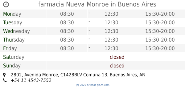
farmacia Nueva Monroe
Avenida Monroe 2802
Pharmacy
read more
1.123 km
Nueva Monroe
Pharmacy
read more
1.228 km
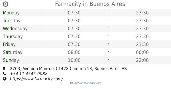
Farmacity
Avenida Monroe 2703
Pharmacy
read more
📑
all categories
Accounting
Administrative area level 1
Administrative area level 2
Airport
Amusement park
Aquarium
Art gallery
Atm
Bakery
Bank
Bar
Beauty salon
Bicycle store
Book store
Bowling alley
Bus station
Cafe
Campground
Car dealer
Car rental
Car repair
Car wash
Casino
Cemetery
Church
City hall
Clothing store
Colloquial area
Convenience store
Country
Courthouse
Dentist
Department store
Doctor
Electrician
Electronics store
Embassy
Establishment
Finance
Fire station
Florist
Food
Funeral home
Furniture store
Gas station
General contractor
Grocery or supermarket
Gym
Hair care
Hardware store
Health
Hindu Temple
Home goods store
Hospital
Insurance agency
Intersection
Jewelry store
Laundry
Lawyer
Library
Light rail station
Liquor store
Local government office
Locality
Locksmith
Lodging
Meal delivery
Meal takeaway
Mosque
Movie rental
Movie theater
Moving company
Museum
Natural feature
Neighborhood
Night club
Painter
Park
Parking
Pet store
Pharmacy
Physiotherapist
Place of worship
Plumber
Point of interest
Police
Political
Post office
Premise
Real estate agency
Restaurant
Roofing contractor
Route
Rv park, camping
School
Shoe store
Shopping mall
Spa
Stadium
Storage
Store
Subpremise
Subway station
Supermarket
Synagogue
Taxi stand
Train station
Transit station
Travel agency
University
Veterinary care
Zoo
sublocality level 1
sublocality level 3
↑