Restaurant nearby Club del Pancho
Argentina
Restaurant nearby Club del Pancho
Club del Pancho
861, Avenida Dorrego, C1414, Comuna 15, Buenos Aires, AR Argentina
contacts phone
:
+54
Latitude:
-34.5913022
, Longitude:
-58.4468891
larger map & directions
read more
nearest Restaurant
270 m
El Farol To Restaurant
Vera 1293
Restaurant
read more
272 m
Parrilla Chetito
Bonpland 924
Restaurant
read more
556 m
El Gauchito
Juan Ramirez de Velazco 1059
Restaurant
read more
596 m
La Luli
C1414CWX, Avenida Juan Bautista Justo 2196
Restaurant
read more
663 m
El Patio
Aguirre 1018
Restaurant
read more
730 m
Marco Pollo
Avenida Corrientes 5573
Restaurant
read more
774 m
Sabor Criollo
Uriarte 961
Restaurant
read more
792 m
mezcal
Nicaragua y, malabiaCABA
Restaurant
read more
794 m
Malvón
Serrano 789
Restaurant
read more
836 m
Ristretto Cafe Restaurant
Juan Ramirez de Velasco 812
Restaurant
read more
878 m
El Imperio de la Pizza
Avenida Corrientes 6895
Restaurant
read more
949 m
Panchería Móvil
Chacarita
Restaurant
read more
950 m
El Tejano
Avenida Córdoba 5267
Restaurant
read more
955 m
Cantina A Los Amigos
Loyola 701, Buenos Aires
Restaurant
read more
958 m
Cantina A Los Amigos
AUO, Loyola 701
Restaurant
read more
982 m
Tu Repulgue
Acevedo 327
Restaurant
read more
1.018 km
KOKO baobar
Arévalo 1470
Restaurant
read more
1.021 km
La Abuela Juana
Avenida Dorrego 1650
Restaurant
read more
1.156 km
Damiano
Gorriti 5520
Restaurant
read more
1.207 km
Núcleo Accumbens
Fitz Roy 1666
Restaurant
read more
1.212 km
La Esperanza De Los Ascurra
Aguirre 526
Restaurant
read more
1.238 km
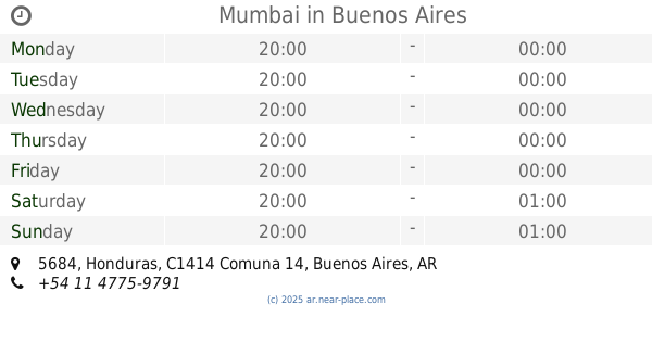
Mumbai
Honduras 5684
Restaurant
read more
1.26 km
Kon Kon
Honduras 5799
Restaurant
read more
1.321 km
La Culpa no es del Chancho
Aráoz 494
Restaurant
read more
1.337 km
ITOKO
Vera 390
Restaurant
read more
📑
all categories
Accounting
Administrative area level 1
Administrative area level 2
Airport
Amusement park
Aquarium
Art gallery
Atm
Bakery
Bank
Bar
Beauty salon
Bicycle store
Book store
Bowling alley
Bus station
Cafe
Campground
Car dealer
Car rental
Car repair
Car wash
Casino
Cemetery
Church
City hall
Clothing store
Colloquial area
Convenience store
Country
Courthouse
Dentist
Department store
Doctor
Electrician
Electronics store
Embassy
Establishment
Finance
Fire station
Florist
Food
Funeral home
Furniture store
Gas station
General contractor
Grocery or supermarket
Gym
Hair care
Hardware store
Health
Hindu Temple
Home goods store
Hospital
Insurance agency
Intersection
Jewelry store
Laundry
Lawyer
Library
Light rail station
Liquor store
Local government office
Locality
Locksmith
Lodging
Meal delivery
Meal takeaway
Mosque
Movie rental
Movie theater
Moving company
Museum
Natural feature
Neighborhood
Night club
Painter
Park
Parking
Pet store
Pharmacy
Physiotherapist
Place of worship
Plumber
Point of interest
Police
Political
Post office
Premise
Real estate agency
Restaurant
Roofing contractor
Route
Rv park, camping
School
Shoe store
Shopping mall
Spa
Stadium
Storage
Store
Subpremise
Subway station
Supermarket
Synagogue
Taxi stand
Train station
Transit station
Travel agency
University
Veterinary care
Zoo
sublocality level 1
sublocality level 3
↑