Restaurant nearby Imperio
Argentina
Restaurant nearby Imperio
Imperio
4000, Avenida Corrientes, C1194AAS, Comuna 5, Buenos Aires, AR Argentina
contacts phone
:
+54
Latitude:
-34.6032033
, Longitude:
-58.4209173
larger map & directions
read more
nearest Restaurant
216 m
Pizzeria Pachi
Avenida Medrano 755
Restaurant
read more
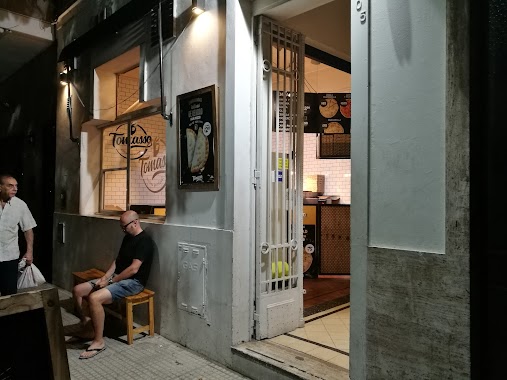
226 m
Tomasso
Jerónimo Salguero 505
Restaurant
read more
298 m
Doña
Bulnes 802
Restaurant
read more
351 m
Los Sabios Restaurante
Avenida Corrientes 3733
Restaurant
read more
441 m
Taco Box
Avenida Medrano 309
Restaurant
read more
486 m
Almagro Vive
Lavalle & Av. Medrano
Restaurant
read more
534 m
Robesa
Lavalle 3600
Restaurant
read more
607 m
Pierino
Lavalle 3499
Restaurant
read more
630 m
Acuña Bar Cocina Porteña
Avenida Díaz Vélez 4002
Restaurant
read more
682 m
Restaurante Cantón
Avenida Córdoba 4015
Restaurant
read more
713 m
东北菜馆
Gallo 452
Restaurant
read more
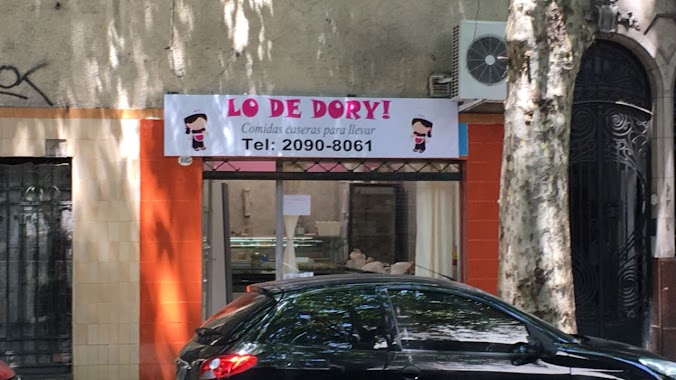
721 m
Lo de Dory
C1179AAS, Avenida Medrano 1087
Restaurant
read more
740 m
Demmy Restaurant
Potosí 4277
Restaurant
read more
759 m
MARCEL
Sarmiento 4512
Restaurant
read more
875 m
Restauracja McDonald's
Abasto, Avenida Corrientes 3247
Restaurant
read more
879 m
Alsanabel
Gorriti 4098
Restaurant
read more
904 m
The Bull Beer & Burger
Avenida Estado de Israel 4483
Restaurant
read more
915 m
Lo de Fer Y Javi
Panamá 900
Restaurant
read more
943 m
Rotiseria Vegetariana
9, C1174AAA, Billinghurst 1
Restaurant
read more
964 m
Starbucks
C.C. Abasto Shopping, Avenida Corrientes 3247, AAE
Cafe
Store
Restaurant
Food
Point of interest
Establishment
read more
1.014 km
Pizzería Bahía
Bulnes 1449
Restaurant
read more
1.016 km
Gerónimo
Honduras 3902
Restaurant
read more
1.088 km
Parrilla al Carbón Agustina II
Avenida Rivadavia 3297
Restaurant
read more
1.117 km
El Buen Gusto Pizzeria
Sánchez de Loria 96
Restaurant
read more
1.334 km
Lio San Restaurant Chifa
ABD, Avenida Hipólito Yrigoyen 3101
Restaurant
read more
📑
all categories
Accounting
Administrative area level 1
Administrative area level 2
Airport
Amusement park
Aquarium
Art gallery
Atm
Bakery
Bank
Bar
Beauty salon
Bicycle store
Book store
Bowling alley
Bus station
Cafe
Campground
Car dealer
Car rental
Car repair
Car wash
Casino
Cemetery
Church
City hall
Clothing store
Colloquial area
Convenience store
Country
Courthouse
Dentist
Department store
Doctor
Electrician
Electronics store
Embassy
Establishment
Finance
Fire station
Florist
Food
Funeral home
Furniture store
Gas station
General contractor
Grocery or supermarket
Gym
Hair care
Hardware store
Health
Hindu Temple
Home goods store
Hospital
Insurance agency
Intersection
Jewelry store
Laundry
Lawyer
Library
Light rail station
Liquor store
Local government office
Locality
Locksmith
Lodging
Meal delivery
Meal takeaway
Mosque
Movie rental
Movie theater
Moving company
Museum
Natural feature
Neighborhood
Night club
Painter
Park
Parking
Pet store
Pharmacy
Physiotherapist
Place of worship
Plumber
Point of interest
Police
Political
Post office
Premise
Real estate agency
Restaurant
Roofing contractor
Route
Rv park, camping
School
Shoe store
Shopping mall
Spa
Stadium
Storage
Store
Subpremise
Subway station
Supermarket
Synagogue
Taxi stand
Train station
Transit station
Travel agency
University
Veterinary care
Zoo
sublocality level 1
sublocality level 3
↑