Restaurant nearby Pulenta
Argentina
Restaurant nearby Pulenta
Pulenta
Luján de Cuyo, Mendoza, Argentina
contacts phone
:
+54
website:
www.pulentaestate.com
Latitude:
-33.1963887
, Longitude:
-68.95526
larger map & directions
read more
nearest Restaurant
3.005 km
Lo de Garay Ugarteche
Luján de Cuyo
Restaurant
read more
4.356 km
Bodega Piattelli Vineyards
Cobos 13710, Agrelo
Restaurant
Food
Point of interest
Store
Establishment
read more
5.104 km
Campo Mendoza
Luján de Cuyo
Restaurant
read more
6.131 km
Carrito Bar JESU
Luján de Cuyo
Restaurant
read more
7.073 km
Restaurante Tati
Luján de Cuyo
Restaurant
read more
7.093 km
Bodega Tapiz
Ruta 15 S/n, Agrelo
Restaurant
read more
7.811 km
Lechones Avalos
Luján de Cuyo
Restaurant
read more
8.758 km
Abalo Marcelo
Ruta Provincial 15
Restaurant
read more
9.14 km
Salon ATILIA EVENTOS
Lencinas 687 Agrelo,, Luján
Restaurant
read more
10.469 km
Club Chandon
Ruta Provincial 15, Agrelo
Restaurant
read more
10.666 km
Barrio Juan Paulo Segundo
Agrelo
Restaurant
read more
11.925 km
puebla
Luján de Cuyo
Restaurant
read more
13.082 km
Grill Express Lomos Perdriel
Ruta 40 km 23100 Perdriel
Restaurant
read more
13.357 km
La Barrica Grill Express
Luján de Cuyo
Restaurant
read more
13.736 km
Puesto El Chipica
Luján de Cuyo
Restaurant
read more
13.76 km
Puesto del Jamón Chipica
RP Ruta Provincial 15 5186, Perdriel
Restaurant
read more
14.326 km
L´AMARILLA
Luján de Cuyo
Restaurant
read more
14.768 km
Eventospinal Pintos
Brandsen 3695, Luján de Cuyo
Restaurant
read more
15.681 km
Casona Perdriel
San Martin 2892, Perdriel
Restaurant
read more
15.892 km
La Primula
San Martin, Luján de Cuyo
Restaurant
read more
15.895 km
Primula Cantina Ferroviaria
Luján de Cuyo
Restaurant
read more
16.287 km
cabañas caprinas
Olavarría
Restaurant
read more
17.104 km
bodega roberto bonfanti
mendoza, Luján de Cuyo
Restaurant
read more
18.063 km
CabaÑa Caprina Los Cerros
Olavarría, Luján de Cuyo
Restaurant
read more
18.882 km
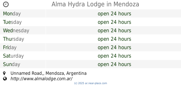
Alma Hydra Lodge
Unnamed Road,, Mendoza
Restaurant
read more
📑
all categories
Accounting
Administrative area level 1
Administrative area level 2
Airport
Amusement park
Aquarium
Art gallery
Atm
Bakery
Bank
Bar
Beauty salon
Bicycle store
Book store
Bowling alley
Bus station
Cafe
Campground
Car dealer
Car rental
Car repair
Car wash
Casino
Cemetery
Church
City hall
Clothing store
Colloquial area
Convenience store
Country
Courthouse
Dentist
Department store
Doctor
Electrician
Electronics store
Embassy
Establishment
Finance
Fire station
Florist
Food
Funeral home
Furniture store
Gas station
General contractor
Grocery or supermarket
Gym
Hair care
Hardware store
Health
Hindu Temple
Home goods store
Hospital
Insurance agency
Intersection
Jewelry store
Laundry
Lawyer
Library
Light rail station
Liquor store
Local government office
Locality
Locksmith
Lodging
Meal delivery
Meal takeaway
Mosque
Movie rental
Movie theater
Moving company
Museum
Natural feature
Neighborhood
Night club
Painter
Park
Parking
Pet store
Pharmacy
Physiotherapist
Place of worship
Plumber
Point of interest
Police
Political
Post office
Premise
Real estate agency
Restaurant
Roofing contractor
Route
Rv park, camping
School
Shoe store
Shopping mall
Spa
Stadium
Storage
Store
Subpremise
Subway station
Supermarket
Synagogue
Taxi stand
Train station
Transit station
Travel agency
University
Veterinary care
Zoo
sublocality level 1
sublocality level 3
↑