School nearby Clases de percusion arabe
Argentina
School nearby Clases de percusion arabe
Clases de percusion arabe
700-650,C1414, Estado de Palestina, C1414, Comuna 5, Buenos Aires, AR Argentina
contacts phone
:
+54 9 11 3310-0275
Latitude:
-34.6033994
, Longitude:
-58.4258341
larger map & directions
read more
nearest School
134 m
COLEGIO GALILEO GALILEI SECUNDARIA
Estado de Palestina 748
School
read more
135 m
Escuela integral Acuarela
Pringles 738
School
read more
167 m
Escuela Parroquial San Jose
Pringles 689
School
read more
227 m
Escuela de la Nueva Expresión
Humahuaca 4244/48
School
read more
335 m
Clases de Guitarra
AAC, Bogado 4500
School
read more
406 m
Esc. 3 Distrito 2. Manuel Sola
Lambaré 975
School
read more
415 m
Colegio Betania
C1180AAO, Francisco Acuña de Figueroa 849
School
read more
440 m
Asociacion Civil La Tribu
Lambaré 873
School
read more
529 m
Alpi Escuela De Enfermeria
C1194AAS, Avenida Corrientes 3934
School
read more
533 m
Ml Marcelo Levin
Río de Janeiro 802
School
read more
586 m
Escuela del Centenario
Río de Janeiro 986
School
read more
615 m
Benito Nazar school
Avenida Estado de Israel 4230
School
read more
622 m
Cole Mario
Río de Janeiro 663
School
read more
632 m
FX
Avenida Estado de Israel 4126
School
read more
681 m
Escuela Primaria Común Número 23 General Belgrano
Pringles 263
School
read more
696 m
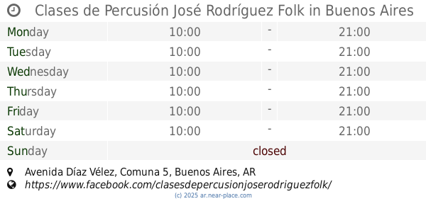
Clases de Percusión José Rodríguez Folk
Avenida Díaz Vélez
School
read more
752 m
EMAD Sede Jufré
C1414AYC, Jufré 141
School
read more
818 m
Miss Malana
C1414AOC, Vera 109
School
read more
920 m
TRIEMPO
Mario Bravo 737
School
read more
934 m
Biodanza Grupo Peonias
Billinghurst 459, Buenos Aires
School
read more
937 m
salguero Iuna
Jerónimo Salguero 60
School
read more
939 m
Una Audiovisuales
Jerónimo Salguero 60
School
read more
962 m
Instituto Federico Dominick
4079, Gorriti
School
read more
1.184 km
Yoga Daniela Paruolo 2° 19
C1204AAN, Avenida Rivadavia 3600
School
read more
1.243 km
Escuela Infantil Mi Tiempo
Bulnes 2585
School
read more
📑
all categories
Accounting
Administrative area level 1
Administrative area level 2
Airport
Amusement park
Aquarium
Art gallery
Atm
Bakery
Bank
Bar
Beauty salon
Bicycle store
Book store
Bowling alley
Bus station
Cafe
Campground
Car dealer
Car rental
Car repair
Car wash
Casino
Cemetery
Church
City hall
Clothing store
Colloquial area
Convenience store
Country
Courthouse
Dentist
Department store
Doctor
Electrician
Electronics store
Embassy
Establishment
Finance
Fire station
Florist
Food
Funeral home
Furniture store
Gas station
General contractor
Grocery or supermarket
Gym
Hair care
Hardware store
Health
Hindu Temple
Home goods store
Hospital
Insurance agency
Intersection
Jewelry store
Laundry
Lawyer
Library
Light rail station
Liquor store
Local government office
Locality
Locksmith
Lodging
Meal delivery
Meal takeaway
Mosque
Movie rental
Movie theater
Moving company
Museum
Natural feature
Neighborhood
Night club
Painter
Park
Parking
Pet store
Pharmacy
Physiotherapist
Place of worship
Plumber
Point of interest
Police
Political
Post office
Premise
Real estate agency
Restaurant
Roofing contractor
Route
Rv park, camping
School
Shoe store
Shopping mall
Spa
Stadium
Storage
Store
Subpremise
Subway station
Supermarket
Synagogue
Taxi stand
Train station
Transit station
Travel agency
University
Veterinary care
Zoo
sublocality level 1
sublocality level 3
↑