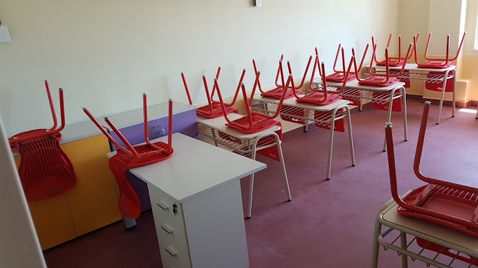
School nearby Emiliano Feguer
Argentina
School nearby Emiliano Feguer
Emiliano Feguer
734, Fonrouge, C1408, C1408HFP, Comuna 9, AR Argentina
contacts phone
:
+54
Latitude:
-34.6454477
, Longitude:
-58.5075761
larger map & directions
read more
nearest School
28 m
SCHOOL DANCES No. 1 PROF. NELLY RAMICONE
Fonrouge 711
School
read more
41 m
Danzas Uno
Fonrouge 711, C1408HFO
School
read more
184 m
National School of Commerce No. 32
Acassuso 5860
School
read more
303 m
Ingles Computacion Leader English School
Avenida Emilio Castro 5815
School
read more
381 m
Academia Teatro Musical
Ercilla 6209
School
read more
461 m
ESCUELA JOSÉ MARÍA TORRES
Avenida Larrazábal 420
School
read more
461 m
JOSÉ MARIA TORRES SCHOOL
Avenida Larrazábal 420
School
read more
507 m
Astolfi
C1408EWG, García de Cossio 5827
School
read more
535 m
Transito de San Jose
C1408GYV, Murguiondo 1010
School
read more
571 m
Supervision D E 20
C1408HFH, Fonrouge 346
School
read more
579 m
SCHOOL CHILDREN sunbeam
Corvalán 725
School
read more
591 m
Jardín Maternal Nº6 DE 13
C1440BWX, Zelada 6240
School
read more
603 m
School No. 12 C.E. Prof. Ramon J. Gene 20
García de Cossio 5570
School
read more
603 m
Escuela N° 12 C.E. 20 Prof. Ramón J. Gené
García de Cossio 5570
School
read more
647 m
Brazil Republica School N 4 - d.e. .: 13
C1440BRQ, Manuel Artigas 5951
School
read more
661 m
Rogelio Yrurtia 5806
Albariño
School
read more
722 m
Escuela de Danzas Número 01
School
read more
726 m
TOmas
Villa Luro
School
read more
730 m
Escuela de teatro N1
Pieres 258
School
read more
897 m
Byron 65 Excavación
Byron 81, C1407IAA
School
read more
904 m
Athenea Instituto de Enseñanza Musical
Irigoyen 21
School
read more
913 m
Kindergarten St. Pius X
Manuel Artigas 5221
School
read more
950 m
Estudio 6 espacio artístico
Avenida Juan Bautista Alberdi 6038
School
read more
1.188 km
Instituto Nuevo Sol Garden Nursery
Avenida Lope de Vega 80
School
read more
1.301 km
Ateneo Solari Natación
Andalgalá 1395
School
read more
📑
all categories
Accounting
Administrative area level 1
Administrative area level 2
Airport
Amusement park
Aquarium
Art gallery
Atm
Bakery
Bank
Bar
Beauty salon
Bicycle store
Book store
Bowling alley
Bus station
Cafe
Campground
Car dealer
Car rental
Car repair
Car wash
Casino
Cemetery
Church
City hall
Clothing store
Colloquial area
Convenience store
Country
Courthouse
Dentist
Department store
Doctor
Electrician
Electronics store
Embassy
Establishment
Finance
Fire station
Florist
Food
Funeral home
Furniture store
Gas station
General contractor
Grocery or supermarket
Gym
Hair care
Hardware store
Health
Hindu Temple
Home goods store
Hospital
Insurance agency
Intersection
Jewelry store
Laundry
Lawyer
Library
Light rail station
Liquor store
Local government office
Locality
Locksmith
Lodging
Meal delivery
Meal takeaway
Mosque
Movie rental
Movie theater
Moving company
Museum
Natural feature
Neighborhood
Night club
Painter
Park
Parking
Pet store
Pharmacy
Physiotherapist
Place of worship
Plumber
Point of interest
Police
Political
Post office
Premise
Real estate agency
Restaurant
Roofing contractor
Route
Rv park, camping
School
Shoe store
Shopping mall
Spa
Stadium
Storage
Store
Subpremise
Subway station
Supermarket
Synagogue
Taxi stand
Train station
Transit station
Travel agency
University
Veterinary care
Zoo
sublocality level 1
sublocality level 3
↑