School nearby Escuela Badin
Argentina
School nearby Escuela Badin
Escuela Badin
Calle La Isla Argentina
contacts phone
:
+54
Latitude:
-33.0589813
, Longitude:
-68.6299064
read more
nearest School
2.51 km
1-239 EJERCITO ARGENTINO
Mendoza, Buenos Aires
School
read more
2.534 km
escuela ejercito argentino
Santa Maria
School
read more
3.621 km
Escuela Emilio Barrera
Isla Grande, San Roque,, Maipú
School
read more
4.342 km
No 1-318 República del Ecuador
Maipú
School
read more
4.368 km
Escuela República del Ecuador
Ruta Provincial 50, San Martín
School
read more
4.463 km
Escuela N°1-744
Maipú
School
read more
4.466 km
Escuela Dr. Pedro Vacas
Maipú
School
read more
4.569 km
Escuela Padre Eduardo IACONO 4-188
Maipú
School
read more
5.128 km
Escuela 4255
las piedritas s/n, Fray Luis Beltrán
School
read more
5.188 km
Escuela 1-168 “Fernando Simón”
Maipú
School
read more
5.282 km
Escuela 4-062 Albornos De Cortez
Maipú
School
read more
5.846 km
Escuela N°4-093 Presidente Julio A. Roca
Julio Leparc 5584, San Martín
School
read more
6.21 km
Jardín Reino Del Revés
Alberdi & Independencia
School
read more
6.596 km
ESCUELA Nº 1-330 PASCUAL TOSO
Ruta Provincial 14 81
School
read more
7.582 km
Escuela Irma Ortega
Eva Perón, San Martín
School
read more
9.43 km
Esc. Juan Isidro Maza
Ruta Provincial 50 4566
School
read more
10.061 km
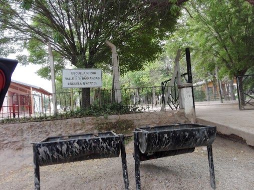
Escuela Valle de las Barrancas
Maipú
School
read more
12.184 km
Esc. 1-160 JONAS EDWARD SALK
San Martín
School
read more
13.24 km
Escuela 1_274
Nicolás Serpa
School
read more
13.686 km
Escuela Mario Anselmo Sanchez 4-096
Luis Correas, Medrano
School
read more
14.933 km
FYDHE SAN MARTIN
Tomas Godoy Cruz 76, 1er Piso, San Martín
School
read more
15.393 km
Solcitos de La Primavera
Mitre 857, Aldea la Primavera
School
read more
16.705 km
Instituto Balcarce
M5515DCF, Presidente Sarmiento 212, Maipú
School
read more
16.711 km
COLEGIO VIRGEN DEL CARMEN DE CUYO
Presidente Sarmiento 240, Maipú
School
read more
18.984 km
escuela 4-062
Gutiérrez, Maipú
School
read more
📑
all categories
Accounting
Administrative area level 1
Administrative area level 2
Airport
Amusement park
Aquarium
Art gallery
Atm
Bakery
Bank
Bar
Beauty salon
Bicycle store
Book store
Bowling alley
Bus station
Cafe
Campground
Car dealer
Car rental
Car repair
Car wash
Casino
Cemetery
Church
City hall
Clothing store
Colloquial area
Convenience store
Country
Courthouse
Dentist
Department store
Doctor
Electrician
Electronics store
Embassy
Establishment
Finance
Fire station
Florist
Food
Funeral home
Furniture store
Gas station
General contractor
Grocery or supermarket
Gym
Hair care
Hardware store
Health
Hindu Temple
Home goods store
Hospital
Insurance agency
Intersection
Jewelry store
Laundry
Lawyer
Library
Light rail station
Liquor store
Local government office
Locality
Locksmith
Lodging
Meal delivery
Meal takeaway
Mosque
Movie rental
Movie theater
Moving company
Museum
Natural feature
Neighborhood
Night club
Painter
Park
Parking
Pet store
Pharmacy
Physiotherapist
Place of worship
Plumber
Point of interest
Police
Political
Post office
Premise
Real estate agency
Restaurant
Roofing contractor
Route
Rv park, camping
School
Shoe store
Shopping mall
Spa
Stadium
Storage
Store
Subpremise
Subway station
Supermarket
Synagogue
Taxi stand
Train station
Transit station
Travel agency
University
Veterinary care
Zoo
sublocality level 1
sublocality level 3
↑