School nearby Petete JARDIN DE NIÑOS
Argentina
School nearby Petete JARDIN DE NIÑOS
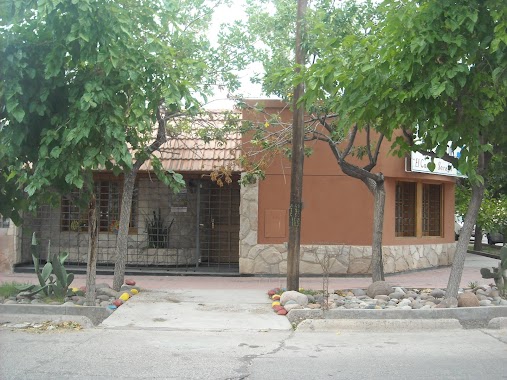
Petete JARDIN DE NIÑOS
283, Bartolome Mitre, 5515, Maipú, Maipú, AR Argentina
contacts phone
:
+54
Latitude:
-32.981986
, Longitude:
-68.785563
larger map & directions
read more
nearest School
127 m
JARDÍN DE INFANTES N° 0-012 M. ELVIRA CHÁVEZ
Pablo Pescara 372, Maipú
School
read more
161 m
Escuela Justo José de Urquiza
Maipú
School
read more
215 m
Fundacion Escuela Medicina Nuclear
M5515DUD, Godoy Cruz T. 510, Maipú
School
read more
356 m
escuela varela
Calle y ruta 50, Necochea
School
read more
398 m
COLEGIO VIRGEN DEL CARMEN DE CUYO
Presidente Sarmiento 240, Maipú
School
read more
401 m
JARDÍN DE NIÑO MI SOL
Lemos 165, Maipú
School
read more
413 m
Colegio Virgen del Carmen de Cuyo
Sarmiento 240, Maipú
School
read more
414 m
Instituto Balcarce
M5515DCF, Presidente Sarmiento 212, Maipú
School
read more
438 m
INSTITUTO MAIPÚ DE EDUCACIÓN INTEGRAL
Godoy Cruz T. 119, Maipú
School
read more
444 m
Agencia mercurio 314
Ozamis 209, Maipú
School
read more
467 m
Escuela de patinaje artistico
Presidente Sarmiento 151, Maipú
School
read more
474 m
CENS 3-463
San Martín 548, Maipú
School
read more
627 m
Jardín EL NIDITO
Ozamis 52, Maipú
School
read more
633 m
Etiec
700,, Ozamis 602, Maipú
School
read more
678 m
El Conejo Serafín
A. Godoy 198, Maipú
School
read more
678 m
JARDIN MATERNAL Y PRE-JARDIN El Conejo Serafin
A. Godoy 198, Maipú
School
read more
730 m
FL Fundación Learning
Ozamis 27, Maipú
School
read more
767 m
C.E.L (carner)
Paganotto, Maipú
School
read more
819 m
ESCUELA No 208 LISANDRO AGUIRRE
Juan Cornelio Moyano, Maipú
School
read more
832 m
Escuela Lisandro AGUIRRE
Juan Cornelio Moyano 501-599, Maipú
School
read more
879 m
1 escuela
Maipú
School
read more
937 m
Escuela N°4-261
Maipú
School
read more
1.089 km
El mundo de Maxi
Unnamed Road
School
read more
1.158 km
KINDERGARTEN Elvira Chavez
Doctor Brandi 898, Maipú
School
read more
1.259 km
Escuela Ingeniero Guillermo Villanueva
Maipú
School
read more
📑
all categories
Accounting
Administrative area level 1
Administrative area level 2
Airport
Amusement park
Aquarium
Art gallery
Atm
Bakery
Bank
Bar
Beauty salon
Bicycle store
Book store
Bowling alley
Bus station
Cafe
Campground
Car dealer
Car rental
Car repair
Car wash
Casino
Cemetery
Church
City hall
Clothing store
Colloquial area
Convenience store
Country
Courthouse
Dentist
Department store
Doctor
Electrician
Electronics store
Embassy
Establishment
Finance
Fire station
Florist
Food
Funeral home
Furniture store
Gas station
General contractor
Grocery or supermarket
Gym
Hair care
Hardware store
Health
Hindu Temple
Home goods store
Hospital
Insurance agency
Intersection
Jewelry store
Laundry
Lawyer
Library
Light rail station
Liquor store
Local government office
Locality
Locksmith
Lodging
Meal delivery
Meal takeaway
Mosque
Movie rental
Movie theater
Moving company
Museum
Natural feature
Neighborhood
Night club
Painter
Park
Parking
Pet store
Pharmacy
Physiotherapist
Place of worship
Plumber
Point of interest
Police
Political
Post office
Premise
Real estate agency
Restaurant
Roofing contractor
Route
Rv park, camping
School
Shoe store
Shopping mall
Spa
Stadium
Storage
Store
Subpremise
Subway station
Supermarket
Synagogue
Taxi stand
Train station
Transit station
Travel agency
University
Veterinary care
Zoo
sublocality level 1
sublocality level 3
↑