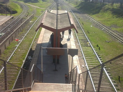
Train station nearby Bs.As
Argentina
Train station nearby Bs.As
Bs.As
Buenos Aires, Argentina
contacts phone
:
+54
Latitude:
-34.6454752
, Longitude:
-58.3939491
larger map & directions
read more
nearest Train station
1.662 km
H. Yrigoyen
Argentina
Train station
read more
2.017 km
Dr. Sáenz
Argentina
Train station
read more
2.424 km
Darío y Maxi
Avenida Presidente Hipólito Yrigoyen 400, Avellaneda
Train station
read more
2.635 km
Pte Alsina
Argentina
Train station
read more
4.294 km
Estación Once
Argentina
Train station
read more
4.617 km
Gerli
Argentina
Train station
read more
4.685 km
Villa Soldati
Argentina
Train station
read more
5.085 km
V. Diamante
Argentina
Train station
read more
5.423 km
Caballito
Rojas 288
Train station
read more
5.423 km
Caballito
Train station
read more
5.456 km
Presidente Illia
Argentina
Train station
read more
5.813 km
Sarandí
Argentina
Train station
read more
6.835 km
Flores
Argentina
Train station
read more
7.977 km
Palermo
Argentina
Train station
read more
9.974 km
Lisandro de la Torre
Argentina
Train station
read more
9.975 km
Villa Madero
Argentina
Train station
read more
10.471 km
LINEA SAN MARTIN Villa del Parque
Cuenca
Train station
read more
10.961 km
Belgrano C.
Argentina
Train station
read more
11.477 km
El Libertador
Argentina
Train station
read more
12.502 km
De Elía
Argentina
Train station
read more
12.521 km
Ing. Castello
Argentina
Train station
read more
13.091 km
Coronel F. Lynch
Train station
read more
15.077 km
San Justo
Argentina
Train station
read more
15.142 km
Querandí
Argentina
Train station
read more
16.201 km
San Andrés
Argentina
Train station
read more
📑
all categories
Accounting
Administrative area level 1
Administrative area level 2
Airport
Amusement park
Aquarium
Art gallery
Atm
Bakery
Bank
Bar
Beauty salon
Bicycle store
Book store
Bowling alley
Bus station
Cafe
Campground
Car dealer
Car rental
Car repair
Car wash
Casino
Cemetery
Church
City hall
Clothing store
Colloquial area
Convenience store
Country
Courthouse
Dentist
Department store
Doctor
Electrician
Electronics store
Embassy
Establishment
Finance
Fire station
Florist
Food
Funeral home
Furniture store
Gas station
General contractor
Grocery or supermarket
Gym
Hair care
Hardware store
Health
Hindu Temple
Home goods store
Hospital
Insurance agency
Intersection
Jewelry store
Laundry
Lawyer
Library
Light rail station
Liquor store
Local government office
Locality
Locksmith
Lodging
Meal delivery
Meal takeaway
Mosque
Movie rental
Movie theater
Moving company
Museum
Natural feature
Neighborhood
Night club
Painter
Park
Parking
Pet store
Pharmacy
Physiotherapist
Place of worship
Plumber
Point of interest
Police
Political
Post office
Premise
Real estate agency
Restaurant
Roofing contractor
Route
Rv park, camping
School
Shoe store
Shopping mall
Spa
Stadium
Storage
Store
Subpremise
Subway station
Supermarket
Synagogue
Taxi stand
Train station
Transit station
Travel agency
University
Veterinary care
Zoo
sublocality level 1
sublocality level 3
↑