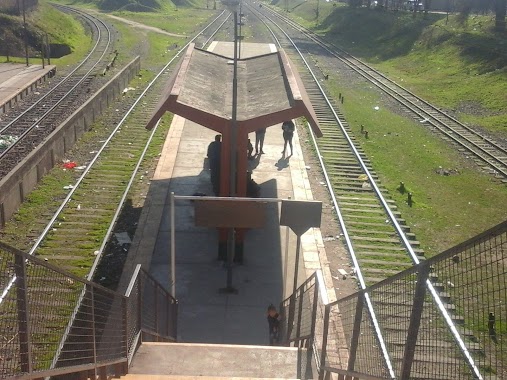
Train station nearby Rafael Castillo
Argentina
Train station nearby Rafael Castillo
Rafael Castillo
Rafael Castillo, Buenos Aires, Argentina
contacts phone
:
+54
Latitude:
-34.6995923
, Longitude:
-58.6262149
larger map & directions
read more
nearest Train station
1.971 km
Merlo Gómez
Argentina
Train station
read more
6.696 km
Estación Ing. Santiago Brian
Ramos Mejía
Train station
read more
6.887 km
J. Villegas
Argentina
Train station
read more
7.088 km
San Justo
Argentina
Train station
read more
7.639 km
San Antonio de Padua
Moreno
Train station
read more
8.674 km
Ramos Mejía
14048, Avenida Rivadavia 14000, Ramos Mejía
Train station
read more
8.936 km
Tablada
Argentina
Train station
read more
9.083 km
Querandí
Argentina
Train station
read more
10.48 km
Tapiales
Los Nogales 1389, Tapiales
Train station
read more
11.048 km
De Elía
Argentina
Train station
read more
11.059 km
Ing. Castello
Argentina
Train station
read more
11.406 km
Liniers railway station
C1408ABA, Avenida Rivadavia 11301-11399
Train station
read more
12.351 km
Villa Madero
Argentina
Train station
read more
12.442 km
Jorge Newbery
Argentina
Train station
read more
14.015 km
Agustín Ferrari
Ruta Provincial 200 1199, Mariano Acosta
Train station
read more
14.137 km
Juan B. De La Salle
Argentina
Train station
read more
14.701 km
Coronel F. Lynch
Train station
read more
15.199 km
Floresta
Argentina
Train station
read more
16.213 km
LINEA SAN MARTIN Villa del Parque
Cuenca
Train station
read more
16.242 km
El Libertador
Argentina
Train station
read more
16.724 km
Flores
Argentina
Train station
read more
16.921 km
Dr. Fco. Beiro
Argentina
Train station
read more
18.483 km
La Paternal
Buenos Aires, Argentina
Train station
read more
19.011 km
José Artigas
Argentina
Train station
read more
19.852 km
L.M. Drago
Argentina
Train station
read more
📑
all categories
Accounting
Administrative area level 1
Administrative area level 2
Airport
Amusement park
Aquarium
Art gallery
Atm
Bakery
Bank
Bar
Beauty salon
Bicycle store
Book store
Bowling alley
Bus station
Cafe
Campground
Car dealer
Car rental
Car repair
Car wash
Casino
Cemetery
Church
City hall
Clothing store
Colloquial area
Convenience store
Country
Courthouse
Dentist
Department store
Doctor
Electrician
Electronics store
Embassy
Establishment
Finance
Fire station
Florist
Food
Funeral home
Furniture store
Gas station
General contractor
Grocery or supermarket
Gym
Hair care
Hardware store
Health
Hindu Temple
Home goods store
Hospital
Insurance agency
Intersection
Jewelry store
Laundry
Lawyer
Library
Light rail station
Liquor store
Local government office
Locality
Locksmith
Lodging
Meal delivery
Meal takeaway
Mosque
Movie rental
Movie theater
Moving company
Museum
Natural feature
Neighborhood
Night club
Painter
Park
Parking
Pet store
Pharmacy
Physiotherapist
Place of worship
Plumber
Point of interest
Police
Political
Post office
Premise
Real estate agency
Restaurant
Roofing contractor
Route
Rv park, camping
School
Shoe store
Shopping mall
Spa
Stadium
Storage
Store
Subpremise
Subway station
Supermarket
Synagogue
Taxi stand
Train station
Transit station
Travel agency
University
Veterinary care
Zoo
sublocality level 1
sublocality level 3
↑