Bar nearby FroschBier
Argentina
Bar nearby FroschBier
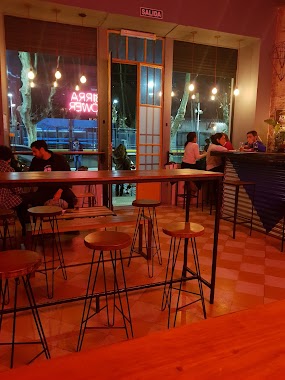
FroschBier
1999, Moldes, C1428, Comuna 13, Buenos Aires, AR Argentina
contacts phone
:
+54 11 4780-7680
website:
www.facebook.com
Latitude:
-34.5646379
, Longitude:
-58.458445
larger map & directions
read more
nearest Bar
123 m
La Growleria
Vidal 1994
Bar
read more
214 m
Damn Malta Belgrano
Echeverría 2493
Bar
read more
334 m
LA BRUJITA
Galeria Recamier, Avenida Cabildo 2136
Bar
read more
371 m
Casa Watson
Vuelta de Obligado 2072, Belgrano
Bar
read more
462 m
Vecchio
Ciudad de La Paz 2324
Bar
read more
475 m
Hangover Beer Station
Amenábar 2363, Buenos Aires
Bar
read more
601 m
Cafe Colombiano
C1428DDM, Blanco Encalada 2425
Bar
read more
656 m
THE NEW TIME
Avenida Monroe 2574
Bar
read more
697 m
Profesor de Piano y Teclado Lic. Gustavo Rodriguez Galicia
Cuba 2370
Bar
read more
703 m
Pizza Parrilla Por Metro
Avenida Monroe 2917
Bar
read more
707 m
Plaza del Carmen
Av Cabildo 2500
Bar
read more
713 m
El Supremo De La Milanesa
Avenida Monroe 2917
Bar
read more
757 m
El Árbol
Galería el Arbol, O'Higgins 2125
Bar
read more
775 m
Roosevelt
Franklin D. Roosevelt 2811
Bar
read more
790 m
Bar
Avenida Cabildo 2600
Bar
read more
822 m
Santa María
Juramento 1905
Bar
read more
877 m
Social Club Buena Birra - Colegiales
Zapiola 1353
Bar
read more
959 m
Loreto Garden Bar
Virrey Loreto 2912
Bar
read more
979 m
Radiobar
Manuel Ugarte 2789
Bar
read more
980 m
Restó - Bar Alexander
Zabala 2825
Bar
read more
982 m
42 NYC
ATZ, Zapiola 1220
Bar
read more
1.065 km
Bar Despedida Gabi
Avenida Crámer 2887
Bar
read more
1.103 km
Gate One Bar
Juramento 1667, 1428
Bar
read more
1.103 km
Gate One Bar
Juramento 1667
Bar
read more
1.297 km
Ruda Bar
Crámer 824
Bar
read more
📑
all categories
Accounting
Administrative area level 1
Administrative area level 2
Airport
Amusement park
Aquarium
Art gallery
Atm
Bakery
Bank
Bar
Beauty salon
Bicycle store
Book store
Bowling alley
Bus station
Cafe
Campground
Car dealer
Car rental
Car repair
Car wash
Casino
Cemetery
Church
City hall
Clothing store
Colloquial area
Convenience store
Country
Courthouse
Dentist
Department store
Doctor
Electrician
Electronics store
Embassy
Establishment
Finance
Fire station
Florist
Food
Funeral home
Furniture store
Gas station
General contractor
Grocery or supermarket
Gym
Hair care
Hardware store
Health
Hindu Temple
Home goods store
Hospital
Insurance agency
Intersection
Jewelry store
Laundry
Lawyer
Library
Light rail station
Liquor store
Local government office
Locality
Locksmith
Lodging
Meal delivery
Meal takeaway
Mosque
Movie rental
Movie theater
Moving company
Museum
Natural feature
Neighborhood
Night club
Painter
Park
Parking
Pet store
Pharmacy
Physiotherapist
Place of worship
Plumber
Point of interest
Police
Political
Post office
Premise
Real estate agency
Restaurant
Roofing contractor
Route
Rv park, camping
School
Shoe store
Shopping mall
Spa
Stadium
Storage
Store
Subpremise
Subway station
Supermarket
Synagogue
Taxi stand
Train station
Transit station
Travel agency
University
Veterinary care
Zoo
sublocality level 1
sublocality level 3
↑