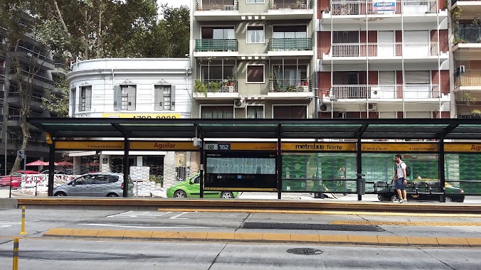
Bus station nearby Avenida del Libertador 1611-1629
Argentina
Bus station nearby Avenida del Libertador 1611-1629
Avenida del Libertador 1611-1629
Buenos Aires, Argentina
contacts phone
:
+54
Latitude:
-34.5617039
, Longitude:
-58.4446673
larger map & directions
read more
nearest Bus station
312 m
Avenida Virrey Vértiz 1831-1863
Argentina
Bus station
read more
482 m
Echeverría 1514
Argentina
Bus station
read more
580 m
Echeverría 1312
Argentina
Bus station
read more
601 m
Avenida Virrey Vértiz 2002-2068
Argentina
Bus station
read more
635 m
Juramento 1457-1499
Argentina
Bus station
read more
736 m
Avenida Federico Lacroze 2212
Argentina
Bus station
read more
763 m
Mendoza 1416
Argentina
Bus station
read more
789 m
Juramento 1995
Argentina
Bus station
read more
790 m
Avenida Cabildo 1257
Argentina
Bus station
read more
811 m
Avenida Federico Lacroze 2302-2352
Argentina
Bus station
read more
826 m
Avenida Cabildo 1559
Argentina
Bus station
read more
828 m
Metrobus - Aguilar
Argentina
Bus station
read more
873 m
Juramento 1087
Argentina
Bus station
read more
875 m
Echeverría 2242
Argentina
Bus station
read more
908 m
Avenida Cabildo 802-850
Argentina
Bus station
read more
961 m
Avenida Cabildo 722-752
Argentina
Bus station
read more
967 m
Metrobus - La Pampa
Argentina
Bus station
read more
968 m
Avenida Luis María Campos 901-999
Argentina
Bus station
read more
1.003 km
Metrobus - Echeverria Station
Argentina
Bus station
read more
1.03 km
Avenida Ernesto Tornquist 80
Argentina
Bus station
read more
1.078 km
Avenida del Libertador 6301-6387
Argentina
Bus station
read more
1.114 km
Blanco Encalada 2002-2068
Argentina
Bus station
read more
1.14 km
Doctor Gerardo Armauer Hansen 1701-1799
Argentina
Bus station
read more
1.225 km
Teniente Benjamín Matienzo 1702-1744
Argentina
Bus station
read more
1.285 km
Avenida Luis María Campos 665
Argentina
Bus station
read more
📑
all categories
Accounting
Administrative area level 1
Administrative area level 2
Airport
Amusement park
Aquarium
Art gallery
Atm
Bakery
Bank
Bar
Beauty salon
Bicycle store
Book store
Bowling alley
Bus station
Cafe
Campground
Car dealer
Car rental
Car repair
Car wash
Casino
Cemetery
Church
City hall
Clothing store
Colloquial area
Convenience store
Country
Courthouse
Dentist
Department store
Doctor
Electrician
Electronics store
Embassy
Establishment
Finance
Fire station
Florist
Food
Funeral home
Furniture store
Gas station
General contractor
Grocery or supermarket
Gym
Hair care
Hardware store
Health
Hindu Temple
Home goods store
Hospital
Insurance agency
Intersection
Jewelry store
Laundry
Lawyer
Library
Light rail station
Liquor store
Local government office
Locality
Locksmith
Lodging
Meal delivery
Meal takeaway
Mosque
Movie rental
Movie theater
Moving company
Museum
Natural feature
Neighborhood
Night club
Painter
Park
Parking
Pet store
Pharmacy
Physiotherapist
Place of worship
Plumber
Point of interest
Police
Political
Post office
Premise
Real estate agency
Restaurant
Roofing contractor
Route
Rv park, camping
School
Shoe store
Shopping mall
Spa
Stadium
Storage
Store
Subpremise
Subway station
Supermarket
Synagogue
Taxi stand
Train station
Transit station
Travel agency
University
Veterinary care
Zoo
sublocality level 1
sublocality level 3
↑