Campground nearby Camping Viejo del Chocon
Argentina
Campground nearby Camping Viejo del Chocon
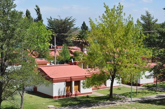
Camping Viejo del Chocon
El Cuy, Río Negro, Argentina
contacts phone
:
+54
Latitude:
-39.269
, Longitude:
-68.739085
larger map & directions
read more
nearest Campground
2.203 km
Bajo Represa Lado noreste
Villa El Chocón
Campground
read more
2.573 km
Rest Area El Chocón
Neuquen
Campground
read more
3.561 km
Club Náutico El Chocón
Neuquén
Campground
read more
7.004 km
Camping Agreste Las Huellas
Barrio Llequen Costa de Lago, Villa El Chocón
Campground
read more
7.377 km
Camping AGRESTE EL MIRADOR -LAS FLORES
Costa Lago Ezequiel Ramos Mexias, Villa El Chocón
Campground
read more
27.869 km
Camping Mica Malen
Río Limay, Neuquén
Campground
read more
28.053 km
Camping Sauces Del Limay
Neuquén
Campground
read more
32.593 km
Camping El Cisne
Ruta Nacional 22 Km. 1259, Senillosa
Campground
read more
37.625 km
Camping Municipal Los Mimbres Senillosa
Neuquén
Campground
read more
37.727 km
Camping Municipal Los Mimbres
Senillosa
Campground
read more
39.781 km
Camping Viejo Senillosa
Senillosa
Campground
read more
40.503 km
Camping Viejo Este Senillosa
Senillosa Este, Río Limay, Neuquén
Campground
read more
46.012 km
Camping Smata Piletas
Neuquén
Campground
read more
52.933 km
Camping Plottier
Río Negro
Campground
read more
54.965 km
camping los acantilados
Río Negro
Campground
read more
56.002 km
Camping ATE
Neuquen
Campground
read more
56.328 km
Camping Nepen Hue
Neuquén
Campground
read more
56.715 km
Camping Nepen Hue
Río Limay, Neuquén
Campground
read more
56.72 km
PREDIO ATE NEUQUEN (LEOPOLDO GONZALEZ)
Plottier
Campground
read more
57.894 km
centro de empleados de comercio Camping Neuquen - plottier
Plottier
Campground
read more
57.894 km
trade center employees Camping Neuquen - Plottier
Plottier
Campground
read more
58.462 km
Las Araucarias Camping
Neuquén
Campground
read more
58.821 km
Camping Costa Soleada
Balsa Las Perlas
Campground
read more
59.125 km
Shushfitness
Ruta 22 Km 1231,5, Plottier
Campground
read more
📑
all categories
Accounting
Administrative area level 1
Administrative area level 2
Airport
Amusement park
Aquarium
Art gallery
Atm
Bakery
Bank
Bar
Beauty salon
Bicycle store
Book store
Bowling alley
Bus station
Cafe
Campground
Car dealer
Car rental
Car repair
Car wash
Casino
Cemetery
Church
City hall
Clothing store
Colloquial area
Convenience store
Country
Courthouse
Dentist
Department store
Doctor
Electrician
Electronics store
Embassy
Establishment
Finance
Fire station
Florist
Food
Funeral home
Furniture store
Gas station
General contractor
Grocery or supermarket
Gym
Hair care
Hardware store
Health
Hindu Temple
Home goods store
Hospital
Insurance agency
Intersection
Jewelry store
Laundry
Lawyer
Library
Light rail station
Liquor store
Local government office
Locality
Locksmith
Lodging
Meal delivery
Meal takeaway
Mosque
Movie rental
Movie theater
Moving company
Museum
Natural feature
Neighborhood
Night club
Painter
Park
Parking
Pet store
Pharmacy
Physiotherapist
Place of worship
Plumber
Point of interest
Police
Political
Post office
Premise
Real estate agency
Restaurant
Roofing contractor
Route
Rv park, camping
School
Shoe store
Shopping mall
Spa
Stadium
Storage
Store
Subpremise
Subway station
Supermarket
Synagogue
Taxi stand
Train station
Transit station
Travel agency
University
Veterinary care
Zoo
sublocality level 1
sublocality level 3
↑