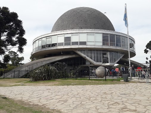
Park nearby Bosques de Palermo
Argentina
Park nearby Bosques de Palermo
Bosques de Palermo
Buenos Aires, Autonomen Stadt Buenos Aires, Argentinien
contacts phone
:
+54
Latitude:
-34.5704135
, Longitude:
-58.40512
larger map & directions
read more
nearest Park
367 m
Parque Deportivo Jorge Newbery
C1425CLE, Avenida Presidente Figueroa Alcorta 3801-3899
Park
read more
441 m
Plaza República Árabe de Egipto
Avenida Sarmiento 3739-3929
Park
read more
542 m
Plaza República Islámica de Irán
Park
read more
546 m
Cesáreo B. de Quirós
C1425EWC, Avenida Casares 3623-3699
Park
read more
632 m
Brig. Gral. Enrique Martínez
Avenida Casares 3501-3549
Park
read more
661 m
Plaza Dr. Benjamín A. Gould
Palermo
Park
read more
683 m
Plazoleta Enrique García Velloso
Avenida Belisario Roldán
Park
read more
686 m
Plaza República del Perú
Park
read more
705 m
Ceibo, Flor Nacional. Rosedal de Palermo.
Báez 700-602, C1426BRN
Park
read more
721 m
Plaza Sicilia
Palermo
Park
read more
764 m
Jardín Japonés
Avenida Casares 3450
Park
read more
782 m
Plaza Saldias
Padre Carlos Mugica 3001, 2104
Park
read more
793 m
Agustín P. Justo Park
Avenida Valentín Alsina 4375
Park
read more
810 m
Punta Carrasco
Av. Costanera Rafael Obligado 1221
Park
read more
829 m
Plaza Alemania
Avenida Raúl Scalabrini Ortíz 2602
Park
read more
838 m
Plaza Ramón G. Fernández
Park
read more
848 m
Bosques De Palermo
C1425ABE, Avenida del Libertador 3132
Park
read more
849 m
Punta Carrasco
Avenida Costanera Rafael Obligado 1221
Park
read more
884 m
Plaza Almirante González Fernández
Avenida Sarmiento 500
Park
read more
932 m
Alejandro Petión
Alejandro María de Aguado 2892-2900
Park
read more
997 m
Plazoleta República de Montenegro
Buenos Aires
Park
read more
1.038 km
Plaza Bélgica
C1425CKX, Avenida Presidente Figueroa Alcorta 3102-3200
Park
read more
1.043 km
Parque recreativo Ex Velodromo
Palermo
Park
read more
1.048 km
Plazoleta Virreinato del Río de la Plata
Park
read more
1.048 km
Plazoleta Viceroyalty of the Río de la Plata
Park
read more
📑
all categories
Accounting
Administrative area level 1
Administrative area level 2
Airport
Amusement park
Aquarium
Art gallery
Atm
Bakery
Bank
Bar
Beauty salon
Bicycle store
Book store
Bowling alley
Bus station
Cafe
Campground
Car dealer
Car rental
Car repair
Car wash
Casino
Cemetery
Church
City hall
Clothing store
Colloquial area
Convenience store
Country
Courthouse
Dentist
Department store
Doctor
Electrician
Electronics store
Embassy
Establishment
Finance
Fire station
Florist
Food
Funeral home
Furniture store
Gas station
General contractor
Grocery or supermarket
Gym
Hair care
Hardware store
Health
Hindu Temple
Home goods store
Hospital
Insurance agency
Intersection
Jewelry store
Laundry
Lawyer
Library
Light rail station
Liquor store
Local government office
Locality
Locksmith
Lodging
Meal delivery
Meal takeaway
Mosque
Movie rental
Movie theater
Moving company
Museum
Natural feature
Neighborhood
Night club
Painter
Park
Parking
Pet store
Pharmacy
Physiotherapist
Place of worship
Plumber
Point of interest
Police
Political
Post office
Premise
Real estate agency
Restaurant
Roofing contractor
Route
Rv park, camping
School
Shoe store
Shopping mall
Spa
Stadium
Storage
Store
Subpremise
Subway station
Supermarket
Synagogue
Taxi stand
Train station
Transit station
Travel agency
University
Veterinary care
Zoo
sublocality level 1
sublocality level 3
↑