Park nearby Plaza República Islámica de Irán
Argentina
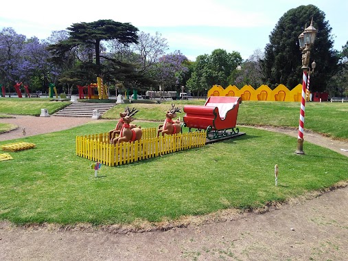
Park nearby Plaza República Islámica de Irán
Plaza República Islámica de Irán
Buenos Aires, Argentina
contacts phone
:
+54 11 3826-6876
website:
buenosaires.gob.ar
Latitude:
-34.5735073
, Longitude:
-58.4096949
larger map & directions
read more
nearest Park
185 m
Plaza Sicilia
Palermo
Park
read more
239 m
Cesáreo B. de Quirós
C1425EWC, Avenida Casares 3623-3699
Park
read more
297 m
Jardín Japonés
Avenida Casares 3450
Park
read more
369 m
Plaza República Árabe de Egipto
Avenida Sarmiento 3739-3929
Park
read more
388 m
Plaza Ramón G. Fernández
Park
read more
424 m
Plaza Almirante González Fernández
Avenida Sarmiento 500
Park
read more
479 m
Plazoleta República de Montenegro
Buenos Aires
Park
read more
494 m
Plaza Dr. Benjamín A. Gould
Palermo
Park
read more
542 m
Bosques de Palermo
Buenos Aires
Park
read more
641 m
3 de Febrero Park
Av. Adolfo Berro 3800
Park
read more
664 m
Poetas Garden
Park
read more
694 m
César Iglesias Paz
C1425ACB, Juan Francisco Seguí 3524
Park
read more
710 m
Mayor Seeber Square
Avenida Sarmiento
Park
read more
739 m
Bosques De Palermo
Av. Infanta Isabel 410
Park
read more
765 m
El Rosedal De Palermo
Park
read more
765 m
Paseo El Rosedal
Park
read more
822 m
Pergola Lake
Bosques de Palermo, Avenida Infanta Isabel
Park
read more
860 m
Alejandro Petión
Alejandro María de Aguado 2892-2900
Park
read more
864 m
Plaza Martín de Álzaga
Avenida Dorrego 80
Park
read more
992 m
Plaza Bélgica
C1425CKX, Avenida Presidente Figueroa Alcorta 3102-3200
Park
read more
1.044 km
Templo
Palermo
Park
read more
1.063 km
Eco Parque
Sarmiento 2601
Park
read more
1.063 km
Eco Park (formerly Zoo)
Sarmiento 2601
Park
read more
1.273 km
Plaza Republica De Haití
Avenida Dorrego 3625-3699
Park
read more
1.294 km
Parque Pakistán
Avenida Presidente Figueroa Alcorta 5100
Park
read more
📑
all categories
Accounting
Administrative area level 1
Administrative area level 2
Airport
Amusement park
Aquarium
Art gallery
Atm
Bakery
Bank
Bar
Beauty salon
Bicycle store
Book store
Bowling alley
Bus station
Cafe
Campground
Car dealer
Car rental
Car repair
Car wash
Casino
Cemetery
Church
City hall
Clothing store
Colloquial area
Convenience store
Country
Courthouse
Dentist
Department store
Doctor
Electrician
Electronics store
Embassy
Establishment
Finance
Fire station
Florist
Food
Funeral home
Furniture store
Gas station
General contractor
Grocery or supermarket
Gym
Hair care
Hardware store
Health
Hindu Temple
Home goods store
Hospital
Insurance agency
Intersection
Jewelry store
Laundry
Lawyer
Library
Light rail station
Liquor store
Local government office
Locality
Locksmith
Lodging
Meal delivery
Meal takeaway
Mosque
Movie rental
Movie theater
Moving company
Museum
Natural feature
Neighborhood
Night club
Painter
Park
Parking
Pet store
Pharmacy
Physiotherapist
Place of worship
Plumber
Point of interest
Police
Political
Post office
Premise
Real estate agency
Restaurant
Roofing contractor
Route
Rv park, camping
School
Shoe store
Shopping mall
Spa
Stadium
Storage
Store
Subpremise
Subway station
Supermarket
Synagogue
Taxi stand
Train station
Transit station
Travel agency
University
Veterinary care
Zoo
sublocality level 1
sublocality level 3
↑