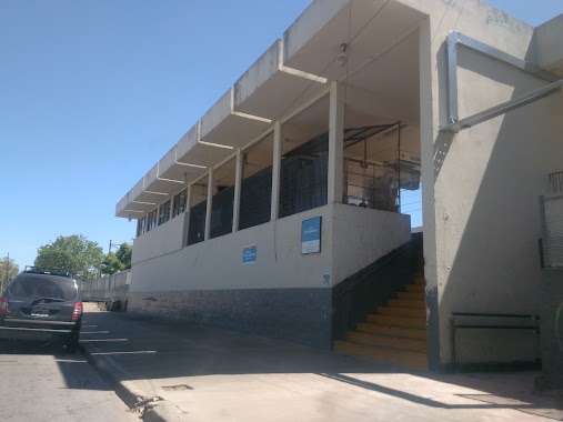
Train station nearby Estación Plátanos
Argentina
Train station nearby Estación Plátanos
Estación Plátanos
B1861 Platanos, Buenos Aires, Argentina
contacts phone
:
+54
Latitude:
-34.782255
, Longitude:
-58.1708001
larger map & directions
read more
nearest Train station
2.338 km
Villa España
Argentina
Train station
read more
2.379 km
Estación Villa España
Av Doctor Luis Agote
Train station
read more
4.745 km
Sourigues
Argentina
Train station
read more
5.895 km
J.M.Gutiérrez
Calle 455 1200, Gutiérrez
Train station
read more
8.504 km
Zeballos
Argentina
Train station
read more
9.99 km
Florencio Varela
Argentina
Train station
read more
10.41 km
Quilmes
Gaboto 649, Quilmes
Train station
read more
14.421 km
Don Bosco
Argentina
Train station
read more
15.421 km
Claypole
Argentina
Train station
read more
15.917 km
Wilde
Argentina
Train station
read more
17.363 km
Estación Villa Domínico
Argentina
Train station
read more
18.295 km
Gonnet
Argentina
Train station
read more
20.825 km
Lomas de Zamora
98, B1832DEB, Avenida Meeks 86, Lomas de Zamora
Train station
read more
21.612 km
Htal. Español
Argentina
Train station
read more
21.714 km
Turdera
Tren a cleypole
Train station
read more
23.074 km
Darío y Maxi
Avenida Presidente Hipólito Yrigoyen 400, Avellaneda
Train station
read more
24.38 km
Guernica
Argentina
Train station
read more
25.439 km
Bs.As
Argentina
Train station
read more
26.078 km
V. Diamante
Argentina
Train station
read more
26.096 km
Fiorito
Argentina
Train station
read more
28.821 km
Alejandro Korn
Alejandro Korn
Train station
read more
28.982 km
Estación Once
Argentina
Train station
read more
32.53 km
Palermo
Argentina
Train station
read more
32.98 km
Estacióń 3 de Febrero
Argentina
Train station
read more
34.398 km
Lisandro de la Torre
Argentina
Train station
read more
📑
all categories
Accounting
Administrative area level 1
Administrative area level 2
Airport
Amusement park
Aquarium
Art gallery
Atm
Bakery
Bank
Bar
Beauty salon
Bicycle store
Book store
Bowling alley
Bus station
Cafe
Campground
Car dealer
Car rental
Car repair
Car wash
Casino
Cemetery
Church
City hall
Clothing store
Colloquial area
Convenience store
Country
Courthouse
Dentist
Department store
Doctor
Electrician
Electronics store
Embassy
Establishment
Finance
Fire station
Florist
Food
Funeral home
Furniture store
Gas station
General contractor
Grocery or supermarket
Gym
Hair care
Hardware store
Health
Hindu Temple
Home goods store
Hospital
Insurance agency
Intersection
Jewelry store
Laundry
Lawyer
Library
Light rail station
Liquor store
Local government office
Locality
Locksmith
Lodging
Meal delivery
Meal takeaway
Mosque
Movie rental
Movie theater
Moving company
Museum
Natural feature
Neighborhood
Night club
Painter
Park
Parking
Pet store
Pharmacy
Physiotherapist
Place of worship
Plumber
Point of interest
Police
Political
Post office
Premise
Real estate agency
Restaurant
Roofing contractor
Route
Rv park, camping
School
Shoe store
Shopping mall
Spa
Stadium
Storage
Store
Subpremise
Subway station
Supermarket
Synagogue
Taxi stand
Train station
Transit station
Travel agency
University
Veterinary care
Zoo
sublocality level 1
sublocality level 3
↑